


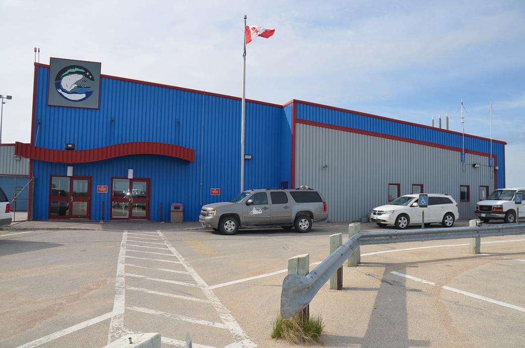
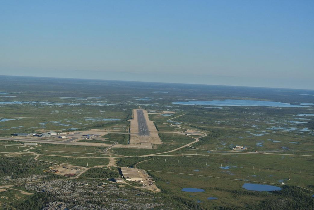
Gallery


Map and nearest places
| Longitude | Latitude |
|---|---|
| 58.7391666666667 | -94.065 |
| 58°44'0"N | 94°3'0"W |
| Nearest places | ||
|---|---|---|
| Churchill | 6.9km | |
| Tadoule Lake | 254.8km | |
| Tadoule Lake Airport | 256.7km | |
| Arviat Airport | 261.8km | |
| Arviat | 263.4km | |
| Gillam Airport | 267.6km | |
| Gillam | 268.7km | |
| Ilford | 311.4km | |
| Ilford airport | 311.9km | |
| York Landing Airport | 318.6km | |
| York Landing | 318.9km | |
| Shamattawa Airport | 341.0km | |
| John Paul II International Airport | 6,516.7km | |
| Albany Airport | 16,490.6km | |
General informations
| Airport type | Regional airport |
| ICAO | CYYQ |
| IATA | YYQ |
| Elevation | 94 ft / 29 m M |
| Year | Pax |
|---|---|
| 2009 | 0 |
| 2008 | 0 |
| 2007 | 0 |
| 2006 | 0 |
| 2005 | 0 |
| 2002 | 22144 |
| 2001 | 17992 |
| 2000 | 21302 |
| 1999 | 22689 |
| 1998 | 21225 |
| 1997 | 19663 |
| 1996 | 19069 |
| 1995 | 19617 |
Weblinks
Comments
You need to log in to add comment