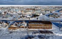
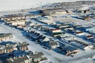
Gallery
Map and nearest places
| Longitude | Latitude |
|---|---|
| 58.7691666666667 | -94.16916666666671 |
| 58°46'0"N | 94°10'0"W |
| Nearest places | ||
|---|---|---|
| Churchill Airport | 6.9km | |
| Tadoule Lake | 248.8km | |
| Tadoule Lake Airport | 250.7km | |
| Arviat Airport | 258.5km | |
| Arviat | 260.1km | |
| Gillam Airport | 270.1km | |
| Gillam | 271.2km | |
| Ilford | 312.8km | |
| Ilford airport | 313.3km | |
| York Landing Airport | 319.3km | |
| York Landing | 319.7km | |
| Shamattawa | 347.5km | |
| John Paul II International Airport | 6,518.4km | |
| Albany Airport | 16,483.8km | |
Restaurants
Airports
Weblinks
Comments
You need to log in to add comment


