


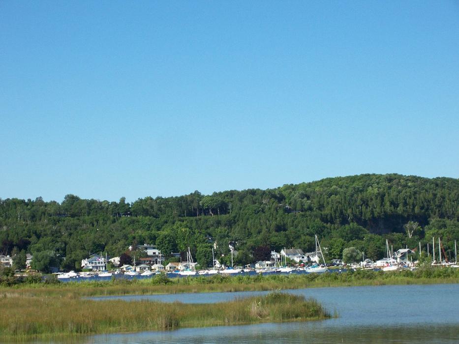
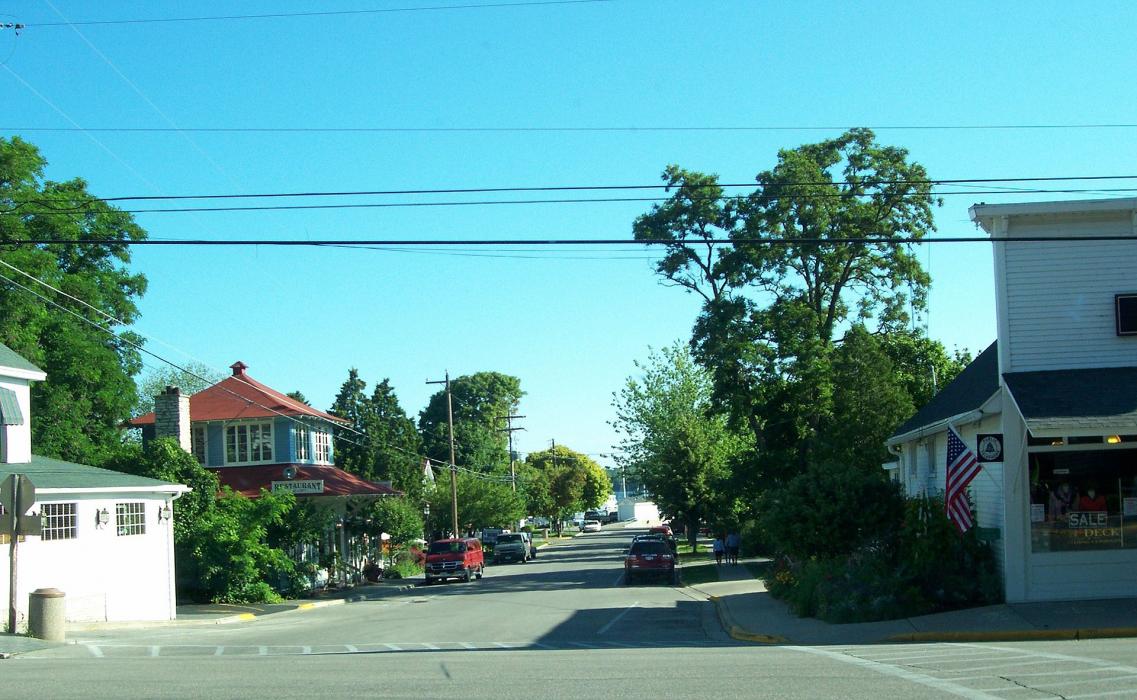
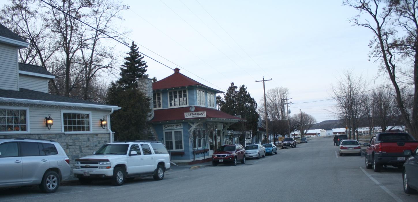


Map and nearest places
| Longitude | Latitude |
|---|---|
| 45.127778 | -87.246944 |
| 45°7'0"N | 87°14'0"W |
| Nearest places | ||
|---|---|---|
| Egg Harbor | 9.6km | |
| Baileys Harbor | 11.9km | |
| Menominee | 28.9km | |
| Marinette | 30.3km | |
| Sturgeon Bay | 34.3km | |
| Door County Cherryland Airport | 34.5km | |
| Oconto | 55.8km | |
| J. Douglas Bake Memorial Airport | 59.3km | |
| Delta County Airport | 67.2km | |
| Frankfort Dow Memorial Field | 99.6km | |
| Austin Straubel International Airport | 99.8km | |
| Ford Airport | 102.3km | |
| John Paul II International Airport | 7,309.9km | |
| Busselton Regional Airport | 17,703.7km | |
Accomodation
Wineries
Weblinks
Comments
You need to log in to add comment