


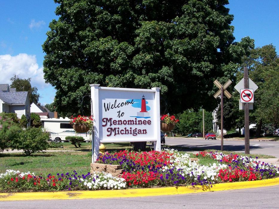


Map and nearest places
| Longitude | Latitude |
|---|---|
| 45.107778 | -87.614167 |
| 45°6'0"N | 87°36'0"W |
| Nearest places | ||
|---|---|---|
| Marinette | 1.6km | |
| Egg Harbor | 25.7km | |
| Fish Creek | 28.9km | |
| Oconto | 31.9km | |
| Door County Cherryland Airport | 33.0km | |
| Crivitz | 33.8km | |
| J. Douglas Bake Memorial Airport | 34.9km | |
| Sturgeon Bay | 36.1km | |
| Delta County Airport | 79.5km | |
| Austin Straubel International Airport | 80.3km | |
| Ford Airport | 88.1km | |
| Clintonville Municipal Airport | 103.8km | |
| John Paul II International Airport | 7,330.9km | |
| Busselton Regional Airport | 17,678.5km | |
Weblinks
Comments
You need to log in to add comment