


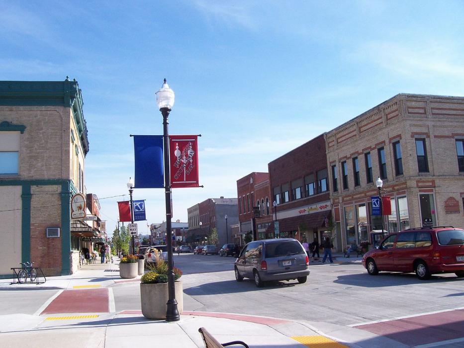
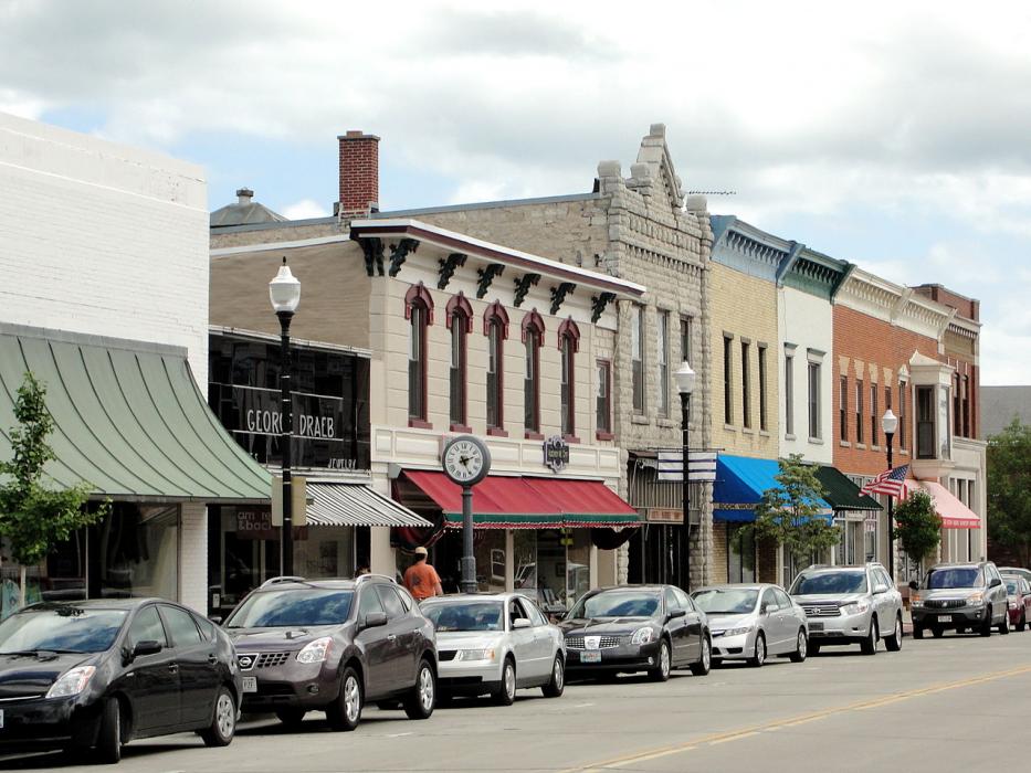
Gallery


Map and nearest places
| Longitude | Latitude |
|---|---|
| 44.832346 | -87.372076 |
| 44°49'0"N | 87°22'0"W |
| Nearest places | ||
|---|---|---|
| Door County Cherryland Airport | 4.1km | |
| Egg Harbor | 24.8km | |
| Algoma | 25.5km | |
| Baileys Harbor | 32.4km | |
| Fish Creek | 34.3km | |
| Marinette | 36.0km | |
| Menominee | 36.1km | |
| J. Douglas Bake Memorial Airport | 42.6km | |
| Austin Straubel International Airport | 71.3km | |
| Manitowoc County Airport | 82.0km | |
| Frankfort Dow Memorial Field | 95.3km | |
| Delta County Airport | 101.4km | |
| John Paul II International Airport | 7,340.9km | |
| Busselton Regional Airport | 17,708.7km | |
Accomodation
Restaurants
Golfs club
Spirits Distillery
Breweries
Airports
Weblinks
Comments
You need to log in to add comment