


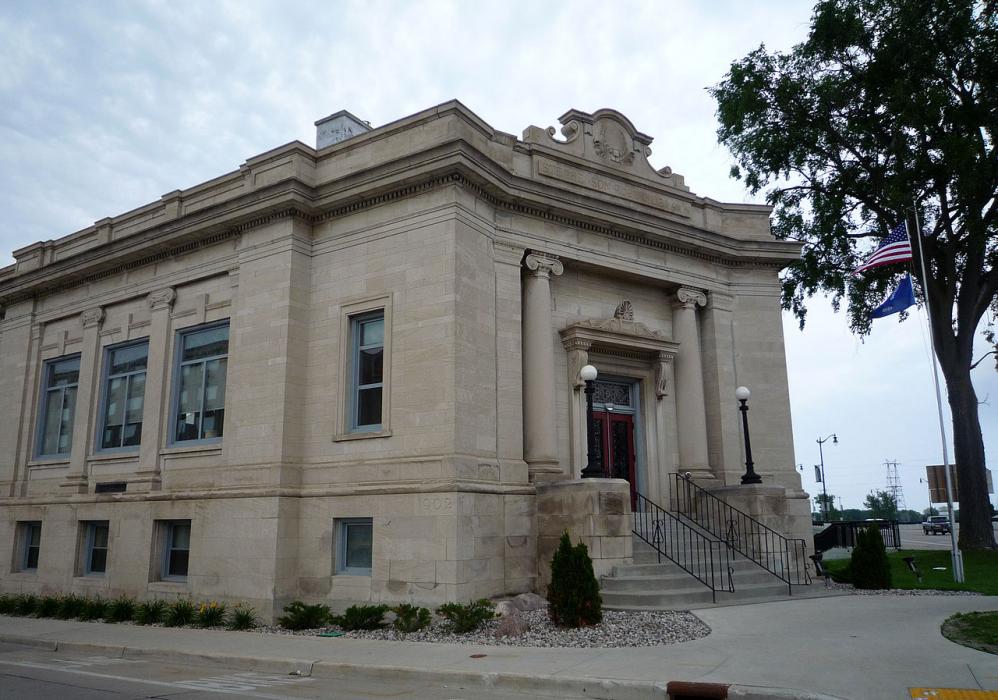
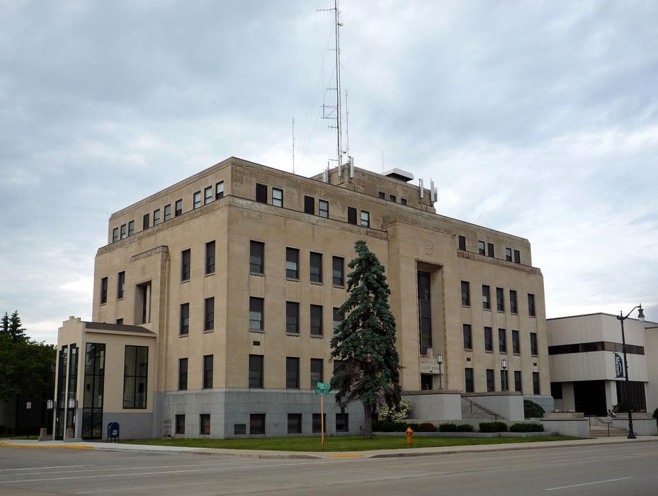
Gallery


Map and nearest places
| Longitude | Latitude |
|---|---|
| 45.1 | -87.630556 |
| 45°6'0"N | 87°37'0"W |
| Nearest places | ||
|---|---|---|
| Menominee | 1.6km | |
| Egg Harbor | 26.8km | |
| Fish Creek | 30.3km | |
| Oconto | 30.4km | |
| Door County Cherryland Airport | 32.9km | |
| Crivitz | 33.1km | |
| J. Douglas Bake Memorial Airport | 33.4km | |
| Sturgeon Bay | 36.0km | |
| Austin Straubel International Airport | 78.9km | |
| Delta County Airport | 80.9km | |
| Ford Airport | 88.3km | |
| Clintonville Municipal Airport | 102.2km | |
| John Paul II International Airport | 7,332.4km | |
| Busselton Regional Airport | 17,677.7km | |
Wineries
Spirits Distillery
Weblinks
Comments
You need to log in to add comment