


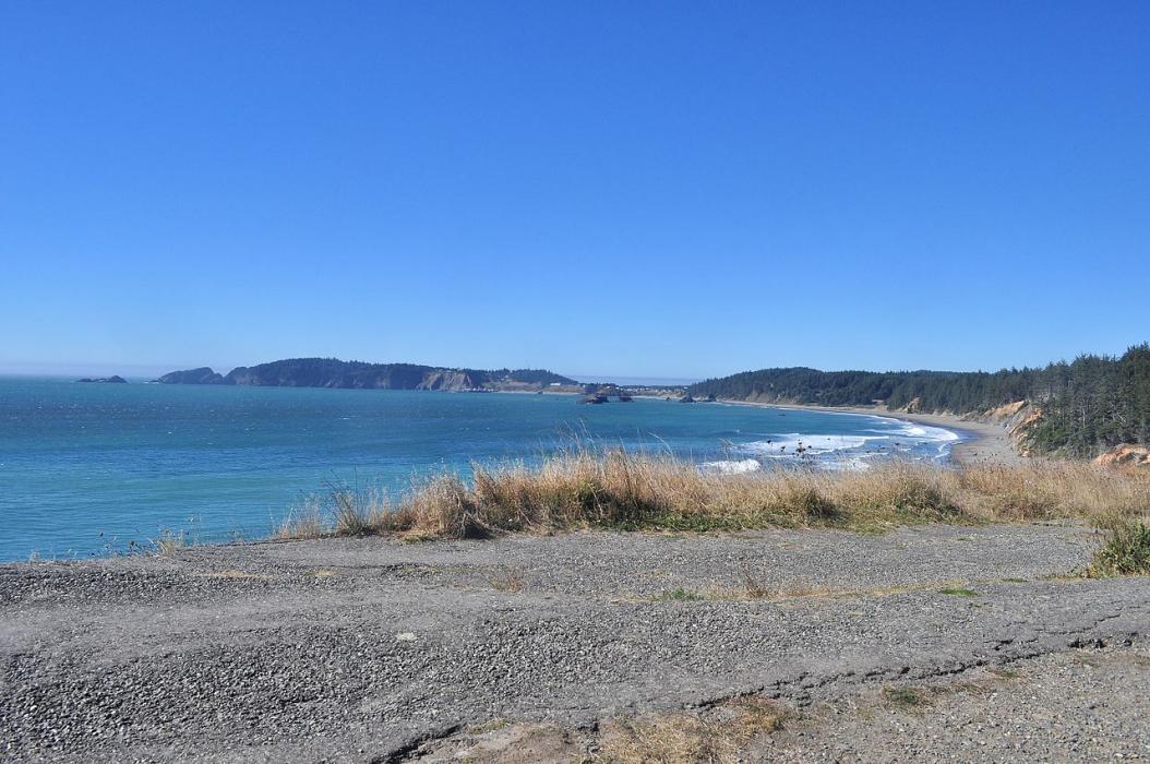
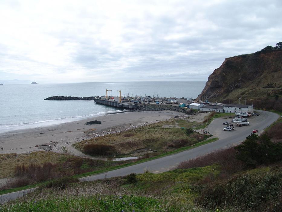
Gallery


Map and nearest places
| Longitude | Latitude |
|---|---|
| 42.749722 | -124.498056 |
| 42°44'0"N | 124°29'0"W |
| Nearest places | ||
|---|---|---|
| Gold Beach Municipal Airport | 37.7km | |
| Bandon State Airport | 38.2km | |
| Gold Beach | 39.2km | |
| Bandon | 41.6km | |
| Coos Bay | 72.8km | |
| North Bend | 76.3km | |
| Southwest Oregon Regional Airport | 76.6km | |
| Brookings | 78.9km | |
| Grants Pass Airport | 94.6km | |
| Cave Junction | 95.3km | |
| Illinois Valley Airport | 98.2km | |
| Roseburg Regional Airport | 107.6km | |
| John Paul II International Airport | 9,125.7km | |
| Tolagnaro Airport | 17,896.4km | |
Accomodation
Restaurants
Weblinks
Comments
You need to log in to add comment