


Gallery


Map and nearest places
| Longitude | Latitude |
|---|---|
| -25.0380555555556 | 46.9561111111111 |
| 25°2'0"S | 46°57'0"E |
| Nearest places | ||
|---|---|---|
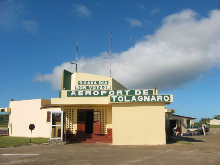
| Tolagnaro | 2.8km | |
| Tulear Airport | 369.2km | |
 | Toliara | 382.8km |
 | Fianarantsoa | 398.3km |
| Fianarantsoa Airport | 400.2km | |
 | Ambalavo | 424.0km |
| Mananjary | 446.4km | |
| Mananjary Airport | 450.0km | |
| Manja | 482.1km | |
| Manja Airport | 483.8km | |
| Morombe Airport | 516.5km | |
| Morondava Airport | 593.8km | |
| John Paul II International Airport | 8,772.1km | |
| Santa Maria Public Airport | 18,383.1km | |
General informations
| Airport type | Local airport |
| ICAO | FMSD |
| IATA | FTU |
| Elevation | 29 ft / 9 m MSL |
| World Pax Ranking 2010 | #1704(+6) |
| Year | Pax |
|---|---|
| 2010 | 32932 |
| 2009 | 32454 |
| 2008 | 54204 |
| 2007 | 53807 |
| 2006 | 39569 |
| 2005 | 37097 |
| 2004 | 31961 |
| 2003 | 24754 |
| 2002 | 12812 |
| 2001 | 44655 |
| 2000 | 41741 |
| 1999 | 44399 |
| 1998 | 40183 |
| 1997 | 39629 |
| 1996 | 35416 |
Weblinks
Comments
You need to log in to add comment