


_1612819271_700.jpg)
_2068631078_700.jpg)
_328468515_700.jpg)


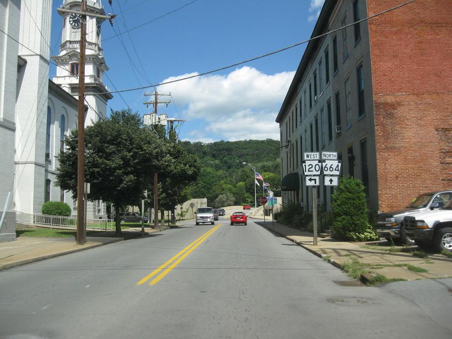
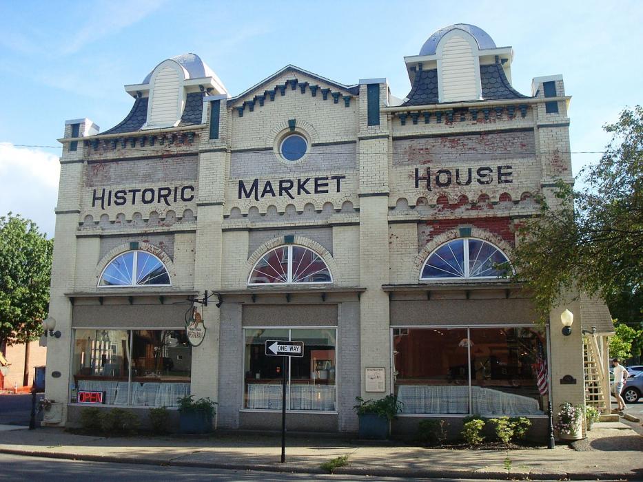
Map and nearest places
| Longitude | Latitude |
|---|---|
| 41.137778 | -77.450833 |
| 41°8'0"N | 77°27'0"W |
| Nearest places | ||
|---|---|---|
| William T. Piper Memorial Airport | 2.4km | |
| Bellefonte | 36.8km | |
| Williamsport | 38.1km | |
| Williamsport Regional Airport | 45.8km | |
| University Park Airport | 46.3km | |
| Lewisburg | 51.0km | |
| State College | 51.5km | |
| Mid-State Airport | 60.4km | |
| Selinsgrove | 61.8km | |
| Philipsburg | 69.9km | |
| Clearfield-Lawrence Airport | 81.2km | |
| St. Marys Municipal Airport | 93.0km | |
| John Paul II International Airport | 7,078.9km | |
| Busselton Regional Airport | 18,613.1km | |
Airports
Weblinks
Comments
You need to log in to add comment