


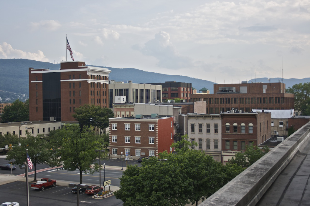
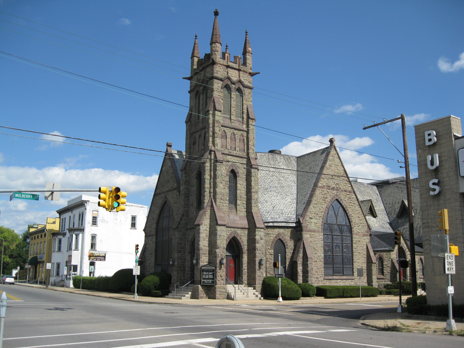
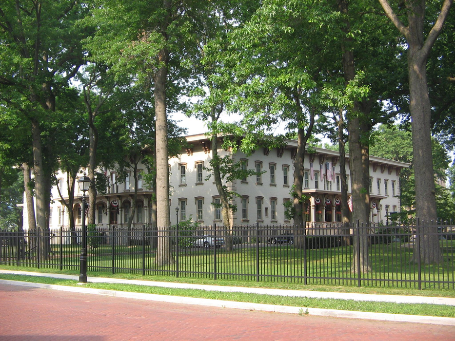
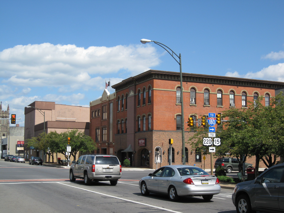
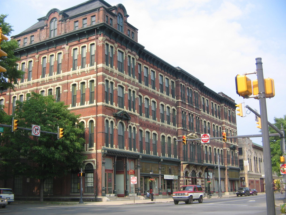
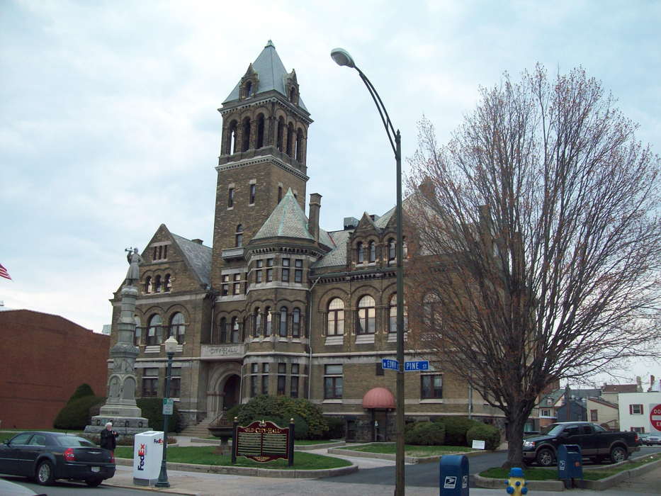
Gallery


Map and nearest places
| Longitude | Latitude |
|---|---|
| 41.244444444444404 | -77.0186111111111 |
| 41°14'0"N | 77°1'0"W |
| Nearest places | ||
|---|---|---|
| Williamsport Regional Airport | 8.2km | |
| Lewisburg | 33.1km | |
| William T. Piper Memorial Airport | 35.9km | |
| Lock Haven | 38.1km | |
| Selinsgrove | 50.8km | |
| Bloomsburg | 54.5km | |
| Bellefonte | 73.2km | |
| Schuylkill County (Joe Zerbey) Airport | 80.7km | |
| University Park Airport | 82.3km | |
| State College | 86.6km | |
| Mid-State Airport | 98.1km | |
| Elmira-Corning Regional Airport | 102.3km | |
| John Paul II International Airport | 7,044.9km | |
| Busselton Regional Airport | 18,637.1km | |
Restaurants
Breweries
Airports
Weblinks
Comments
You need to log in to add comment