


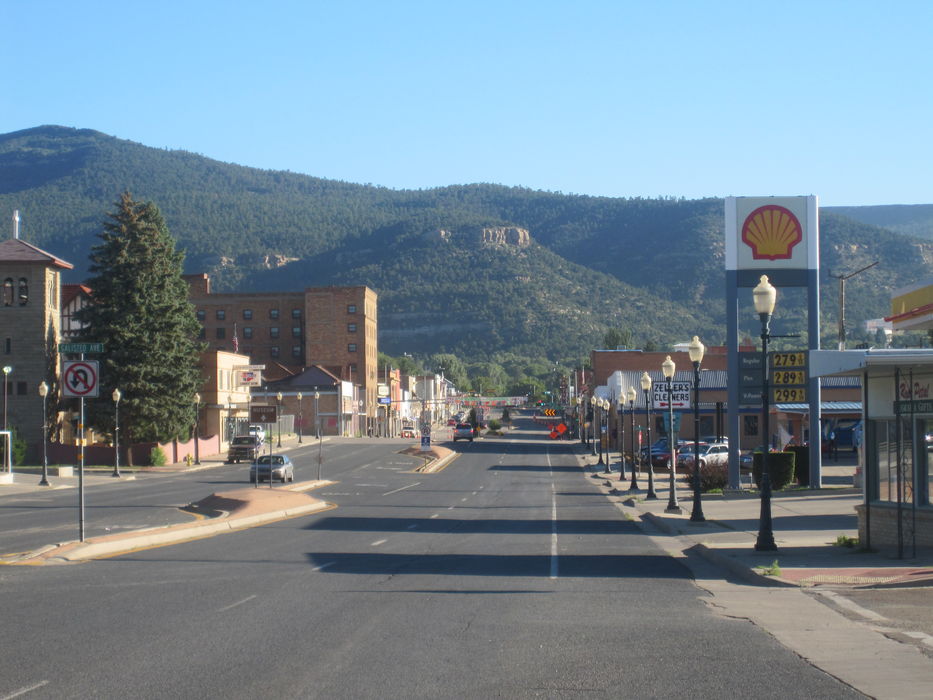
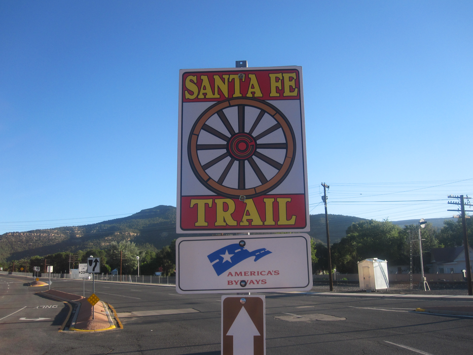
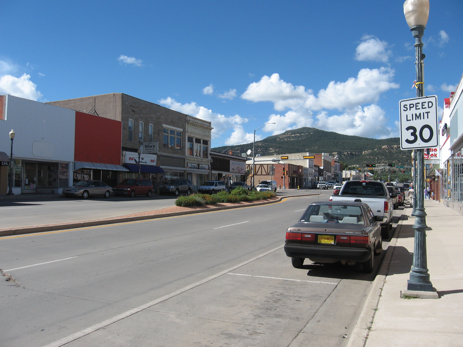
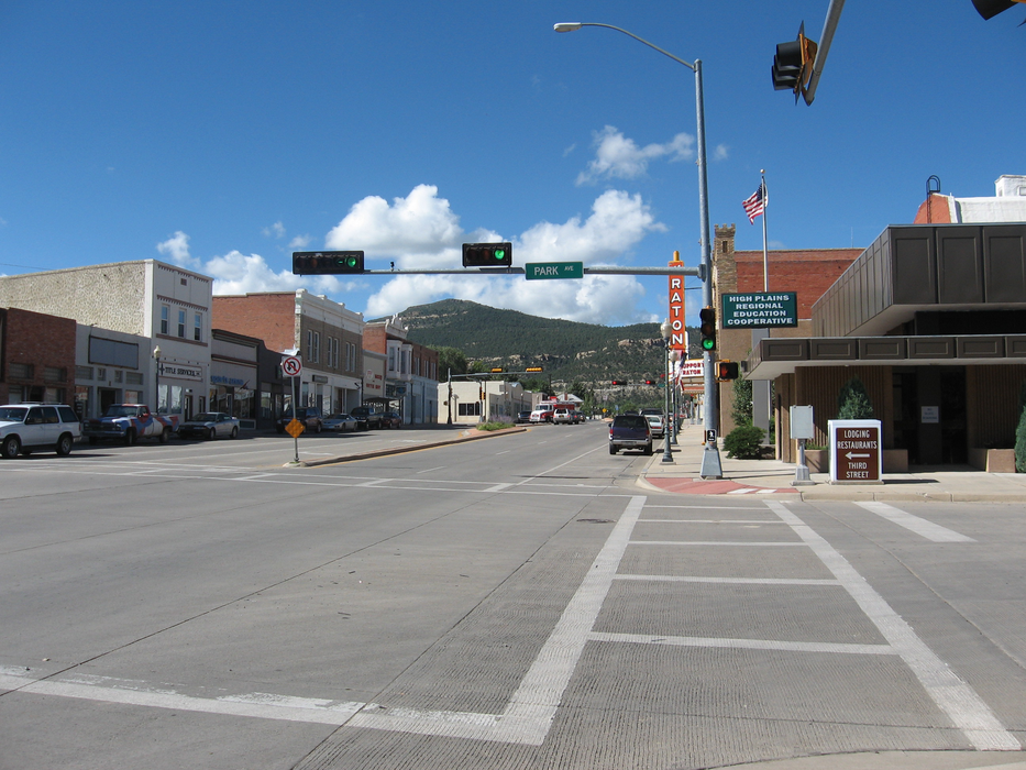
Gallery


Map and nearest places
| Longitude | Latitude |
|---|---|
| 36.8969444444444 | -104.44 |
| 36°53'0"N | 104°26'0"W |
| Nearest places | ||
|---|---|---|
| Raton Municipal Airport | 19.6km | |
| Trinidad | 31.0km | |
| Perry Stokes Airport | 41.3km | |
| La Veta | 84.5km | |
| Cuchara Valley Airport at La Veta | 86.0km | |
| Angel Fire Airport | 92.4km | |
| Angel Fire | 94.9km | |
| Blanca | 112.4km | |
| Blanca Airport | 113.9km | |
 | Taos | 115.8km |
| Taos Regional Airport | 120.2km | |
| Fowler | 141.7km | |
| John Paul II International Airport | 8,907.6km | |
| Sir Gaëtan Duval Airport | 17,770.9km | |
Airports
Weblinks
Comments
You need to log in to add comment