


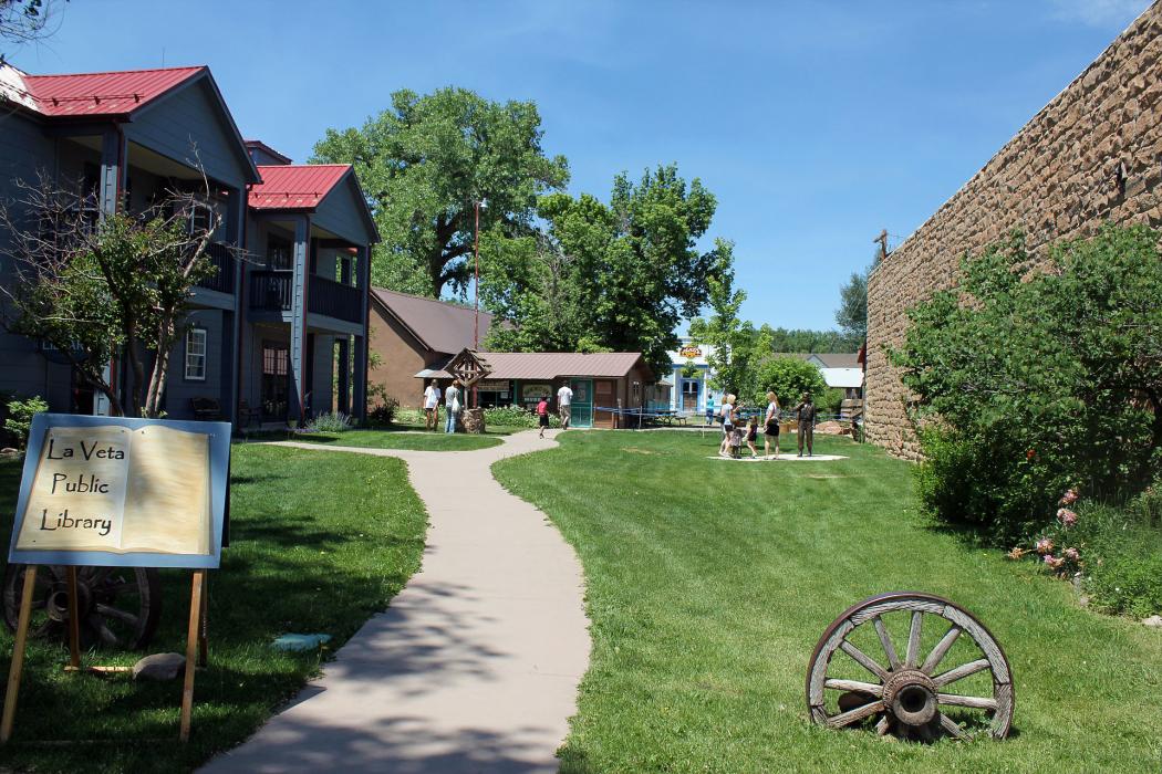
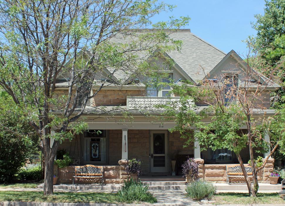
Gallery


Map and nearest places
| Longitude | Latitude |
|---|---|
| 37.507778 | -105.008056 |
| 37°30'0"N | 105°0'0"W |
| Nearest places | ||
|---|---|---|
| Cuchara Valley Airport at La Veta | 1.8km | |
| Blanca | 44.9km | |
| Blanca Airport | 49.2km | |
| Trinidad | 58.1km | |
| Perry Stokes Airport | 65.1km | |
| San Luis Valley Regional Airport | 76.2km | |
| Alamosa | 76.5km | |
| Raton | 84.5km | |
| Pueblo | 91.0km | |
| Monte Vista Municipal Airport | 91.6km | |
| Leach Airport | 96.5km | |
| Florence | 98.6km | |
| John Paul II International Airport | 8,877.4km | |
| Sir Gaëtan Duval Airport | 17,742.8km | |
Accomodation
Airports
Weblinks
Comments
On 01-03-2020 18:34 Jerzy said:
There are 154.37 miles from La Veta to Denver in north direction and 178 miles (286.46 kilometers) by car, following the I-25 N and US-50 W route.La Veta and Denver are 2 hours 55 mins far apart, if you drive non-stop.
You need to log in to add comment
There are 154.37 miles from La Veta to Denver in north direction and 178 miles (286.46 kilometers) by car, following the I-25 N and US-50 W route.La Veta and Denver are 2 hours 55 mins far apart, if you drive non-stop.
You need to log in to add comment