


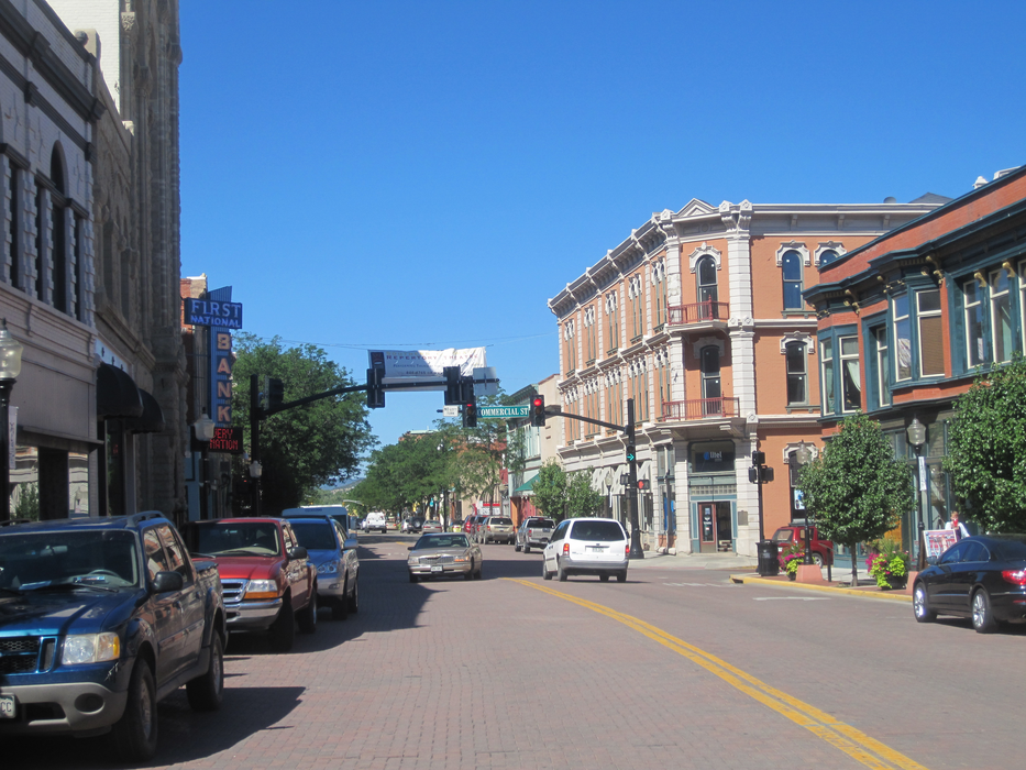
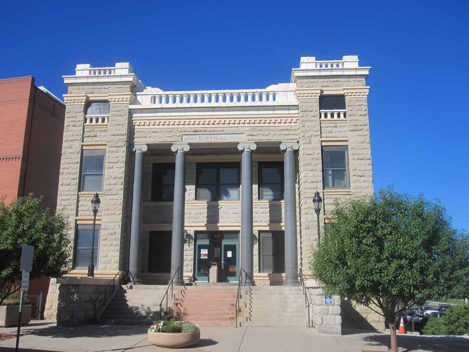
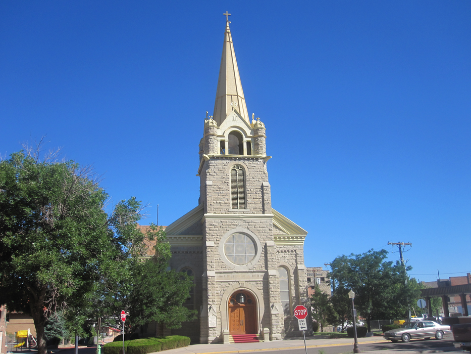
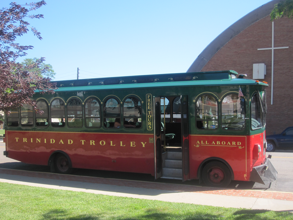
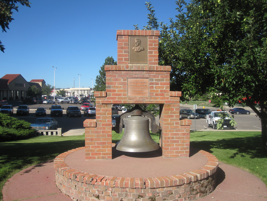
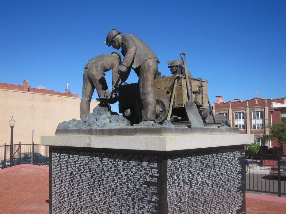
Gallery


Map and nearest places
| Longitude | Latitude |
|---|---|
| 37.170833333333306 | -104.506388888889 |
| 37°10'0"N | 104°30'0"W |
| Nearest places | ||
|---|---|---|
| Perry Stokes Airport | 17.7km | |
| Raton | 31.0km | |
| Raton Municipal Airport | 50.1km | |
| La Veta | 58.1km | |
| Cuchara Valley Airport at La Veta | 59.3km | |
| Blanca | 93.7km | |
| Blanca Airport | 96.3km | |
| Fowler Airport | 108.2km | |
| Angel Fire Airport | 108.6km | |
| Angel Fire | 112.1km | |
| Fowler | 114.6km | |
| Pueblo | 122.3km | |
| John Paul II International Airport | 8,885.2km | |
| Sir Ga�tan Duval Airport | 17,749.3km | |
Accomodation
Restaurants
Museums
Golfs club
Breweries
Airports
Weblinks
Comments
On 01-03-2020 18:43 Jerzy said:
There are 179.51 miles from Trinidad to Denver in north direction and 199 miles (320.26 kilometers) by car, following the I-25 N route.Trinidad and Denver are 3 hours 11 mins far apart, if you drive non-stop.
You need to log in to add comment
There are 179.51 miles from Trinidad to Denver in north direction and 199 miles (320.26 kilometers) by car, following the I-25 N route.Trinidad and Denver are 3 hours 11 mins far apart, if you drive non-stop.
You need to log in to add comment