


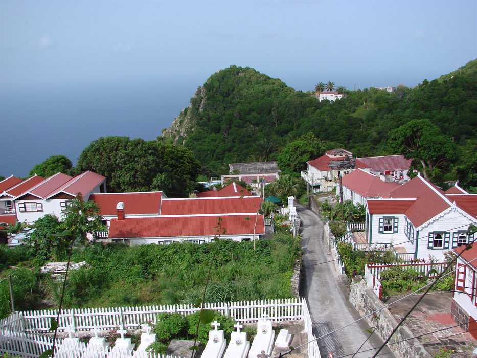
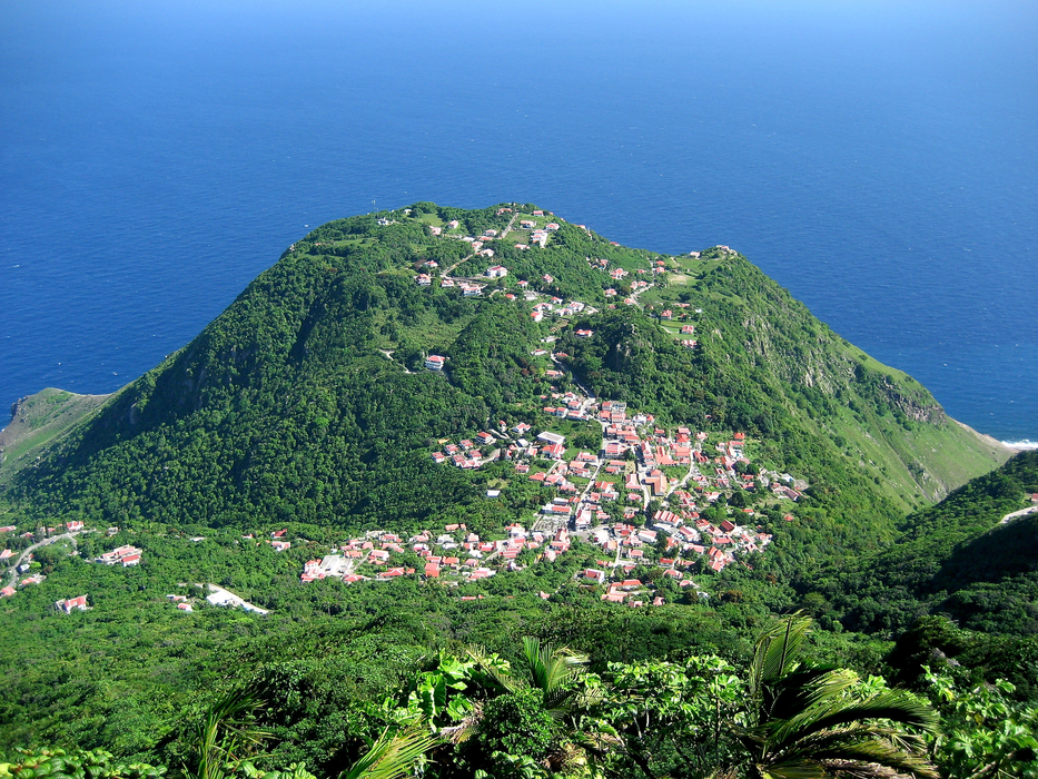
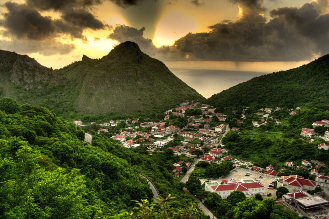


Map and nearest places
| Longitude | Latitude |
|---|---|
| 17.633333 | -63.233333 |
| 17°37'0"N | 63°13'0"W |
| Nearest places | ||
|---|---|---|
| Juancho E. Yrausquin Airport | 1.9km | |
| F.D. Roosevelt Airport | 30.9km | |
 | Saint Eustatius | 32.8km |
| Princess Juliana International Airport | 47.2km | |
| Gustavia St Barth Island | 50.3km | |
| St Barthelemy Airport | 51.1km | |
| Marigot - Saint Martin Island | 51.4km | |
 | Saint Maarten | 51.9km |
| Grand Case Airport | 55.5km | |
| Basseterre - St Kitts Island | 64.7km | |
| Robert L. Bradshaw International Airport | 65.3km | |
| The Valley | 68.1km | |
| John Paul II International Airport | 8,021.8km | |
| Karratha Airport | 19,672.7km | |
Accomodation
Airports

Weblinks
Comments
You need to log in to add comment