


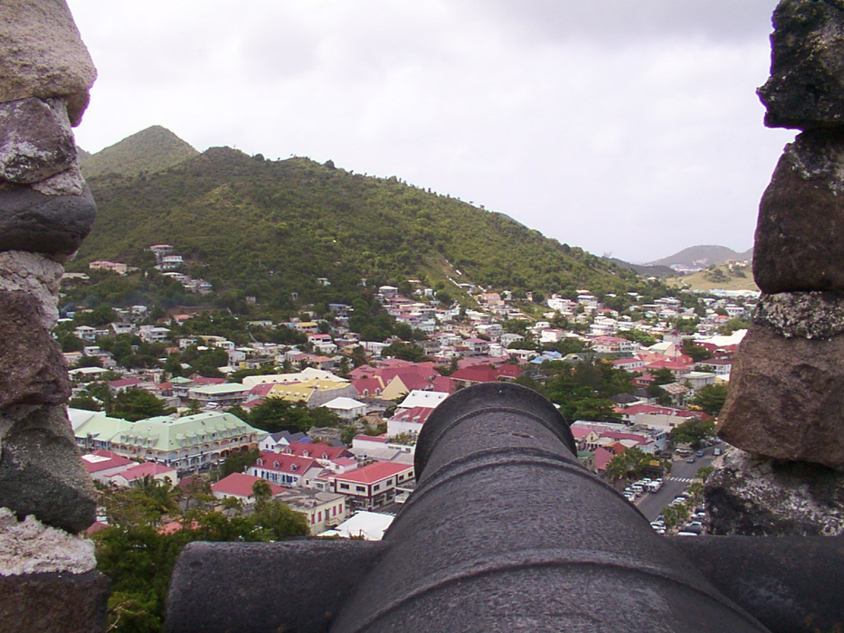
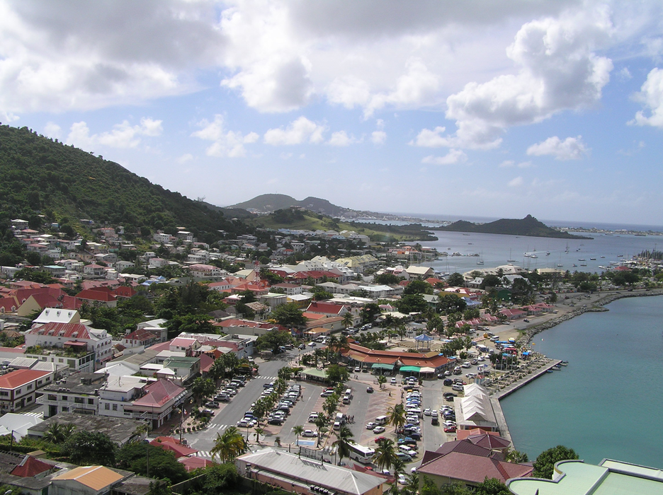
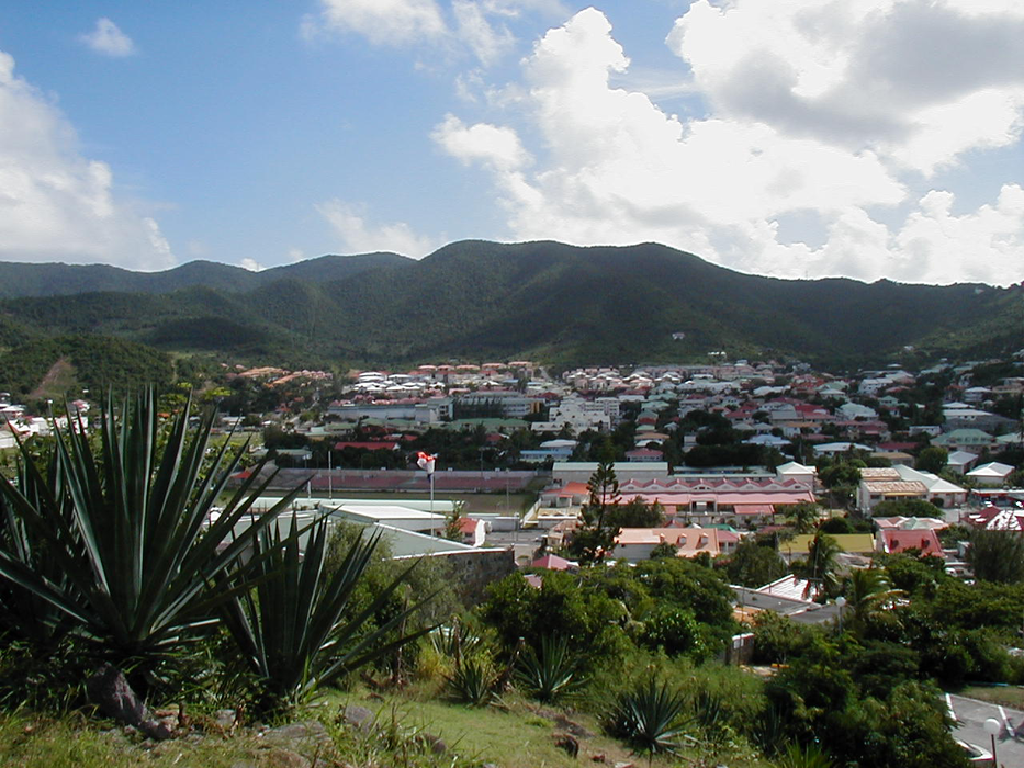


Map and nearest places
| Longitude | Latitude |
|---|---|
| 18.072919 | -63.084419 |
| 18°4'0"N | 63°5'0"W |
| Nearest places | ||
|---|---|---|
 | Saint Maarten | 3.7km |
| Princess Juliana International Airport | 4.4km | |
| Grand Case Airport | 4.9km | |
| Anguilla Wallblake Airport | 15.0km | |
| The Valley | 16.8km | |
| Gustavia St Barth Island | 31.4km | |
| St Barthelemy Airport | 31.6km | |
| Juancho E. Yrausquin Airport | 49.7km | |
| Saba Island | 51.4km | |
| F.D. Roosevelt Airport | 65.1km | |
 | Saint Eustatius | 66.7km |
| Basseterre - St Kitts Island | 93.6km | |
| John Paul II International Airport | 7,975.0km | |
| Karratha Airport | 19,721.2km | |
Accomodation
Airports
Weblinks
Comments
You need to log in to add comment