


_1274818301_700.jpg)
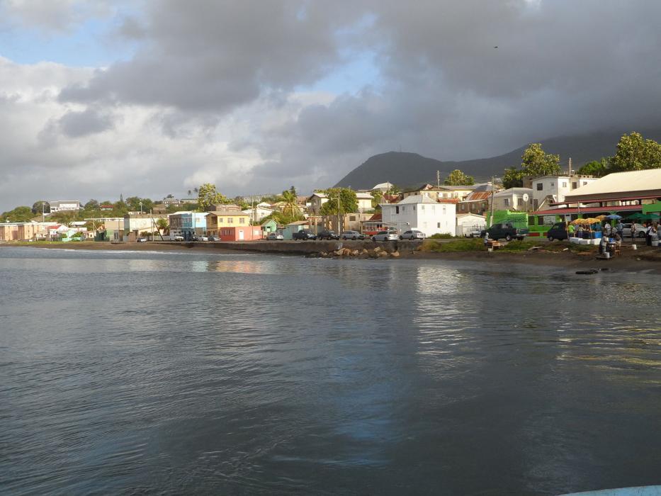
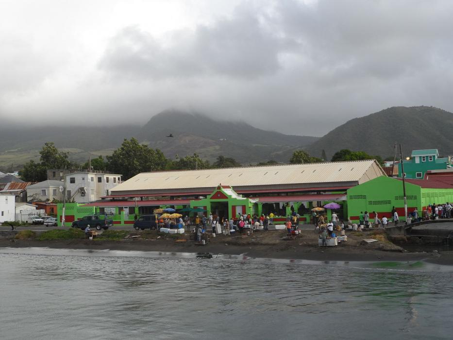


Map and nearest places
| Longitude | Latitude |
|---|---|
| 17.3 | -62.733333 |
| 17°18'0"N | 62°43'0"W |
| Nearest places | ||
|---|---|---|
| Robert L. Bradshaw International Airport | 2.0km | |
| Vance Winkworth Amory International Airport | 18.5km | |
| Newcastle - Nevis Island | 19.4km | |
 | Saint Eustatius | 32.1km |
| F.D. Roosevelt Airport | 34.0km | |
| Juancho E. Yrausquin Airport | 64.4km | |
| Saba Island | 64.7km | |
| Gustavia St Barth Island | 67.9km | |
| St Barthelemy Airport | 68.2km | |
| John A. Osborne Airport | 80.6km | |
 | Saint Maarten | 91.6km |
| Marigot - Saint Martin Island | 93.6km | |
| John Paul II International Airport | 8,013.9km | |
| Port Hedland International Airport | 19,644.2km | |
Airports
Comments
You need to log in to add comment