


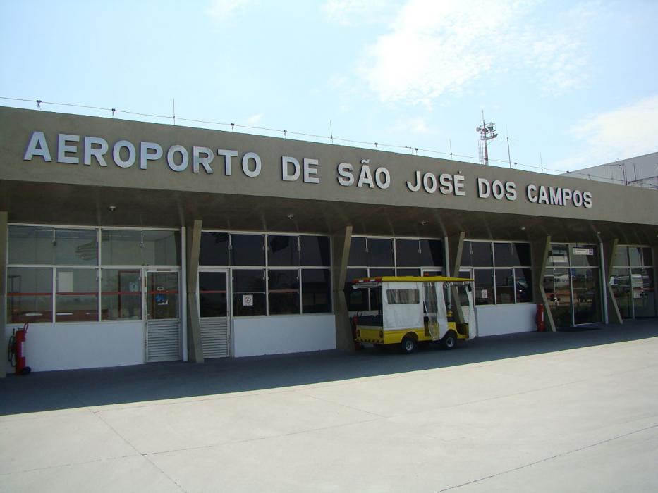
Gallery


Map and nearest places
| Longitude | Latitude |
|---|---|
| -23.2291666666667 | -45.861388888888904 |
| 23°13'0"S | 45°51'0"W |
| Nearest places | ||
|---|---|---|
 | Sao Jose dos Campos | 5.1km |
| Sao Paulo-Guarulhos International Airport | 66.1km | |
| Aeroporto Estadual Arthur Siqueira | 74.5km | |
 | Braganca Paulista | 77.7km |
 | Guaratingueta | 80.4km |
| Guaratingueta Airport | 83.0km | |
| Ubatuba Airport | 83.6km | |
 | Ubatuba | 84.1km |
| Campo de Marte Airport | 85.1km | |
 | Sao Paulo | 86.6km |
| Congonhas-Sao Paulo International Airport | 92.2km | |
 | Jundiai | 104.6km |
| John Paul II International Airport | 10,385.5km | |
| Minami Daito Jima Airport | 19,603.7km | |
General informations
| ICAO | SBSJ |
| IATA | SJK |
| Elevation | 2,120 ft / 646 m MSL |
| World Pax Ranking 2018 | #2006 |
| World Pax Ranking 2015 | #1802(-68) |
| World Pax Ranking 2014 | #1734(-243) |
| World Pax Ranking 2013 | #1491(-174) |
| World Pax Ranking 2012 | #1317(-112) |
| World Pax Ranking 2011 | #1205(+275) |
| World Pax Ranking 2010 | #1480(+152) |
| Year | Pax |
|---|---|
| 2018 | 38190 |
| 2015 | 63622 |
| 2014 | 85649 |
| 2013 | 160229 |
| 2012 | 212536 |
| 2011 | 236084 |
| 2010 | 84176 |
| 2009 | 43820 |
| 2008 | 48469 |
| 2007 | 56565 |
| 2006 | 29745 |
| 2005 | 45030 |
| 2004 | 18808 |
| 2003 | 15523 |
| 2002 | 47745 |
| 2001 | 64254 |
| 2000 | 65270 |
| 1999 | 66043 |
| 1998 | 59626 |
| 1997 | 53721 |
| 1996 | 14101 |
Weblinks
Comments
You need to log in to add comment