


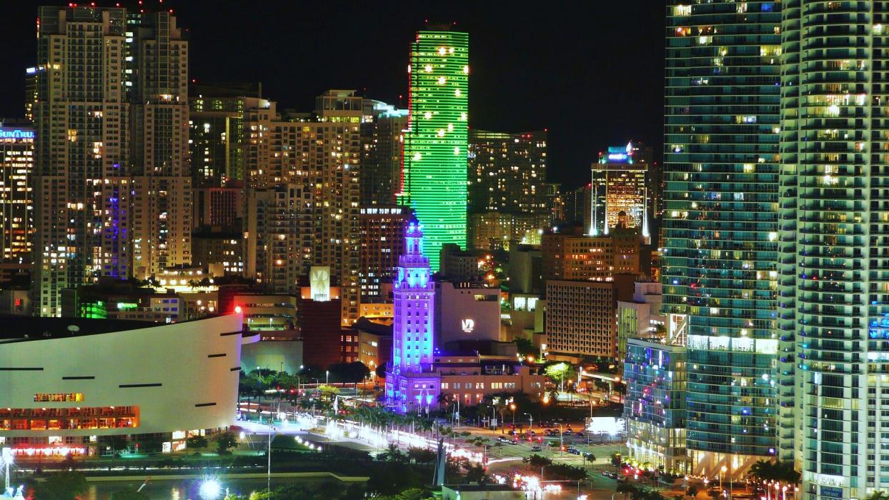


Map and nearest places
| Longitude | Latitude |
|---|---|
| 25.787777777777805 | -80.2241666666667 |
| 25°47'0"N | 80°13'0"W |
| Nearest places | ||
|---|---|---|
| Miami International Airport | 6.7km | |
 | Hialeah | 10.7km |
| Opa-locka Airport | 14.4km | |
| North Perry Airport | 23.8km | |
| Kendall-Tamiami Executive Airport | 26.1km | |
 | Hollywood | 26.4km |
| Fort Lauderdale-Hollywood International Airport | 32.5km | |
 | Fort Lauderdale | 39.6km |
| Homestead | 42.9km | |
| Fort Lauderdale Executive Airport | 45.8km | |
 | Pompano Beach | 50.7km |
 | Deerfield Beach | 60.3km |
| John Paul II International Airport | 8,508.0km | |
| Shark Bay Airport | 18,634.5km | |
Restaurants
Spirits Distillery
Breweries
Weblinks
Comments
You need to log in to add comment