


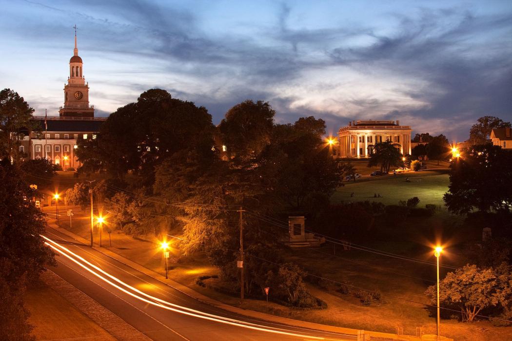
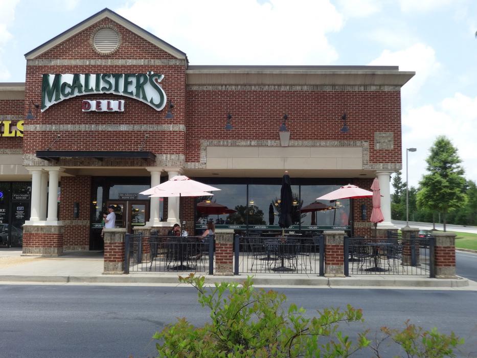
Gallery


Map and nearest places
| Longitude | Latitude |
|---|---|
| 32.834722222222204 | -83.6516666666667 |
| 32°50'0"N | 83°39'0"W |
| Nearest places | ||
|---|---|---|
| Middle Georgia Regional Airport | 15.8km | |
| Perry-Houston County Airport | 37.6km | |
| Perry | 41.6km | |
| Milledgeville | 48.1km | |
| Baldwin County Airport | 52.3km | |
| Thomaston-Upson County Airport | 58.7km | |
| Thomaston | 63.4km | |
| Burke County Airport | 64.8km | |
| W H 'Bud' Barron Airport | 69.2km | |
| Dublin | 76.2km | |
| Sandersville | 80.3km | |
| Eastman | 83.5km | |
| John Paul II International Airport | 8,129.4km | |
| Busselton Regional Airport | 18,244.1km | |
Accomodation
Breweries
Airports
Weblinks
Comments
You need to log in to add comment