


Map and nearest places
| Longitude | Latitude |
|---|---|
| 35.3686111111111 | -94.3986111111111 |
| 35°22'0"N | 94°23'0"W |
| Nearest places | ||
|---|---|---|
| Fort Smith Regional Airport | 4.5km | |
| Poteau | 40.4km | |
| Robert S Kerr Airport | 43.6km | |
| Booneville | 50.3km | |
| Ozark | 52.6km | |
| Ozark-Franklin County Airport | 52.8km | |
| Booneville Municipal Airport | 54.5km | |
| Waldron | 59.2km | |
| Waldron Municipal Airport | 60.8km | |
| Fayetteville Executive Airport | 73.7km | |
| Tahlequah | 79.6km | |
 | Fayetteville | 81.6km |
| John Paul II International Airport | 8,532.0km | |
| Busselton Regional Airport | 17,289.7km | |
Accomodation
Restaurants
Golfs club
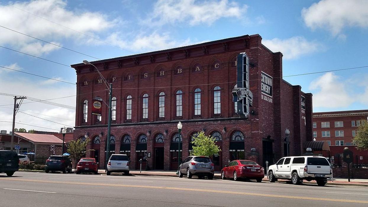
Breweries
Airports

Weblinks
Comments
You need to log in to add comment