


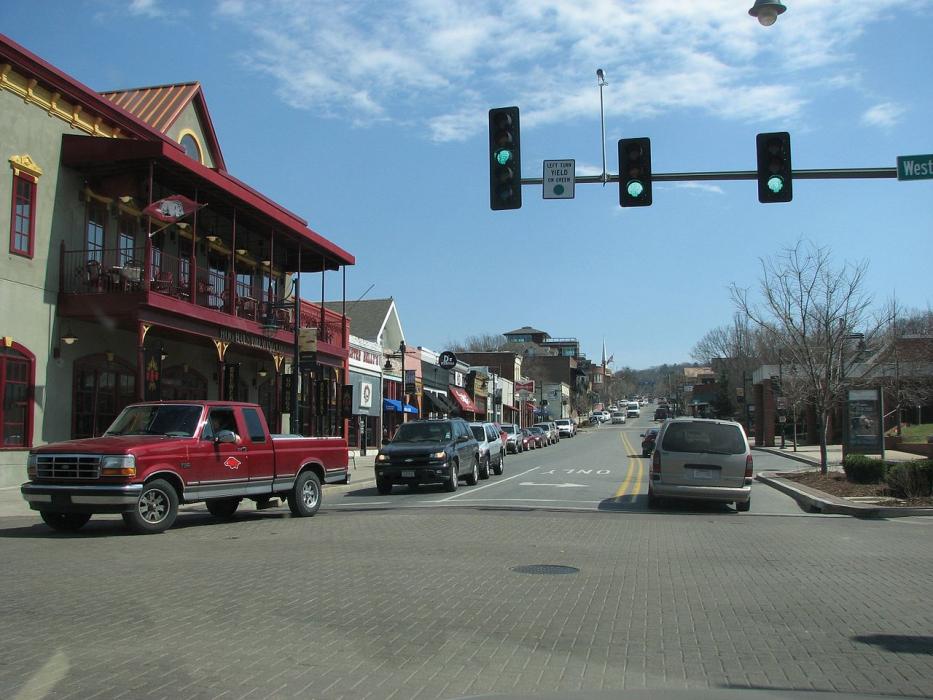
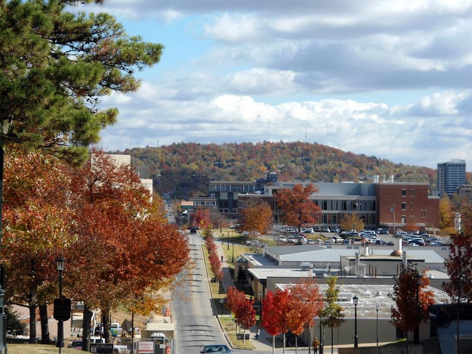
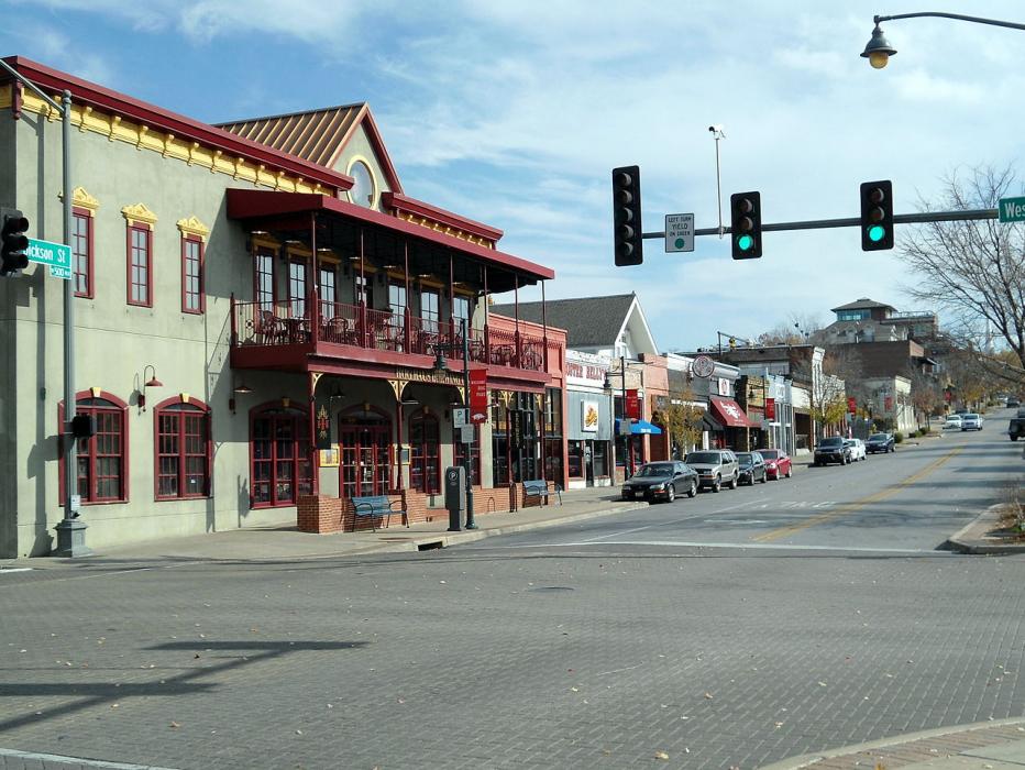


Map and nearest places
| Longitude | Latitude |
|---|---|
| 36.0763888888889 | -94.1608333333333 |
| 36°4'0"N | 94°9'0"W |
| Nearest places | ||
|---|---|---|
| Fayetteville Executive Airport | 8.0km | |
| Springdale Municipal Airport | 11.7km | |
| Springdale | 11.8km | |
| Highfill | 26.1km | |
| Northwest Arkansas Regional Airport | 26.4km | |
| Rogers | 28.2km | |
| Bentonville Municipal/Louise M Thaden Field | 30.4km | |
| Smith Field Airport | 32.0km | |
| Bentonville | 32.7km | |
| Rogers Municipal-Carter Field | 33.3km | |
| Siloam Springs | 36.0km | |
| Huntsville | 38.3km | |
| John Paul II International Airport | 8,456.3km | |
| Busselton Regional Airport | 17,316.5km | |
Accomodation
Restaurants
Golfs club
Breweries
Airports
Weblinks
Comments
You need to log in to add comment