


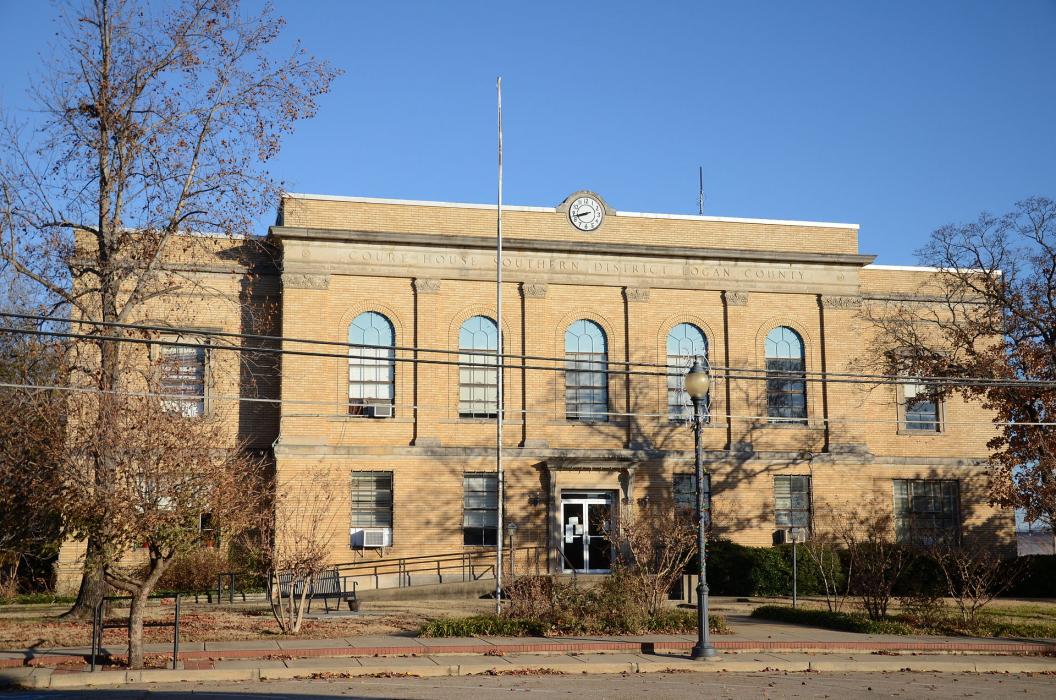
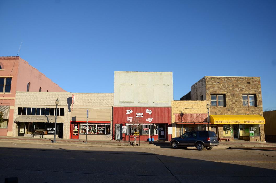
Gallery


Map and nearest places
| Longitude | Latitude |
|---|---|
| 35.139722222222204 | -93.9213888888889 |
| 35°8'0"N | 93°55'0"W |
| Nearest places | ||
|---|---|---|
| Booneville Municipal Airport | 5.5km | |
| Waldron | 30.9km | |
| Waldron Municipal Airport | 33.9km | |
| Ozark | 39.7km | |
| Ozark-Franklin County Airport | 41.0km | |
| Fort Smith Regional Airport | 46.1km | |
| Fort Smith | 50.3km | |
| Robert S Kerr Airport | 65.0km | |
| Poteau | 65.1km | |
| Mena | 68.4km | |
| Mena Intermountain Municipal Airport | 70.9km | |
| Russellville | 72.9km | |
| John Paul II International Airport | 8,526.2km | |
| Busselton Regional Airport | 17,330.7km | |
Restaurants
Airports
Weblinks
Comments
You need to log in to add comment