


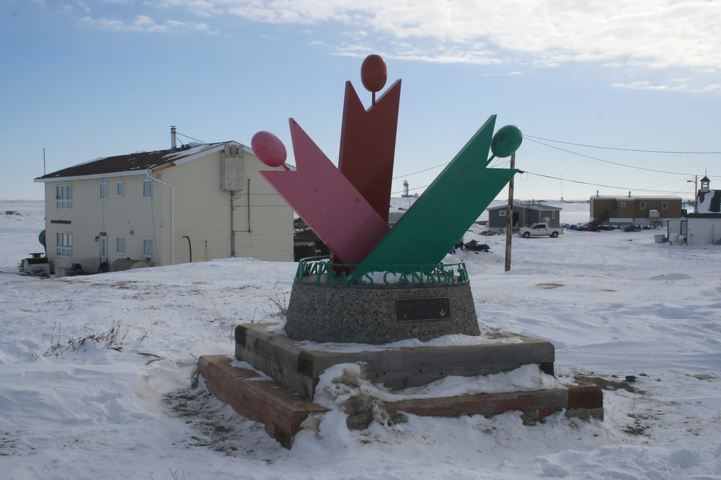
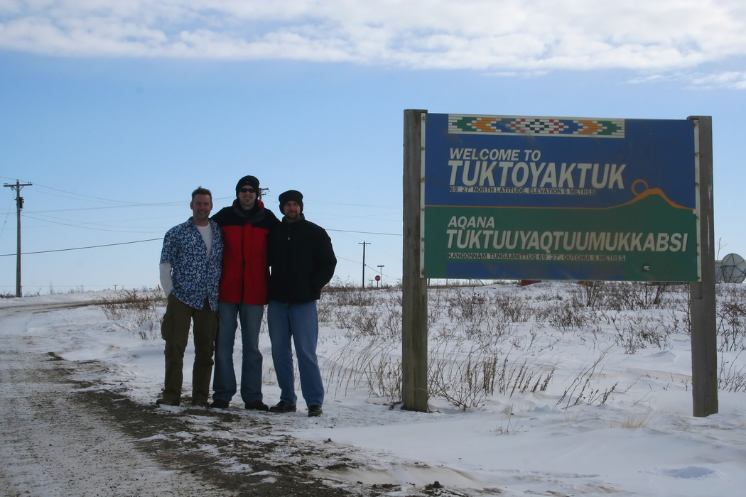
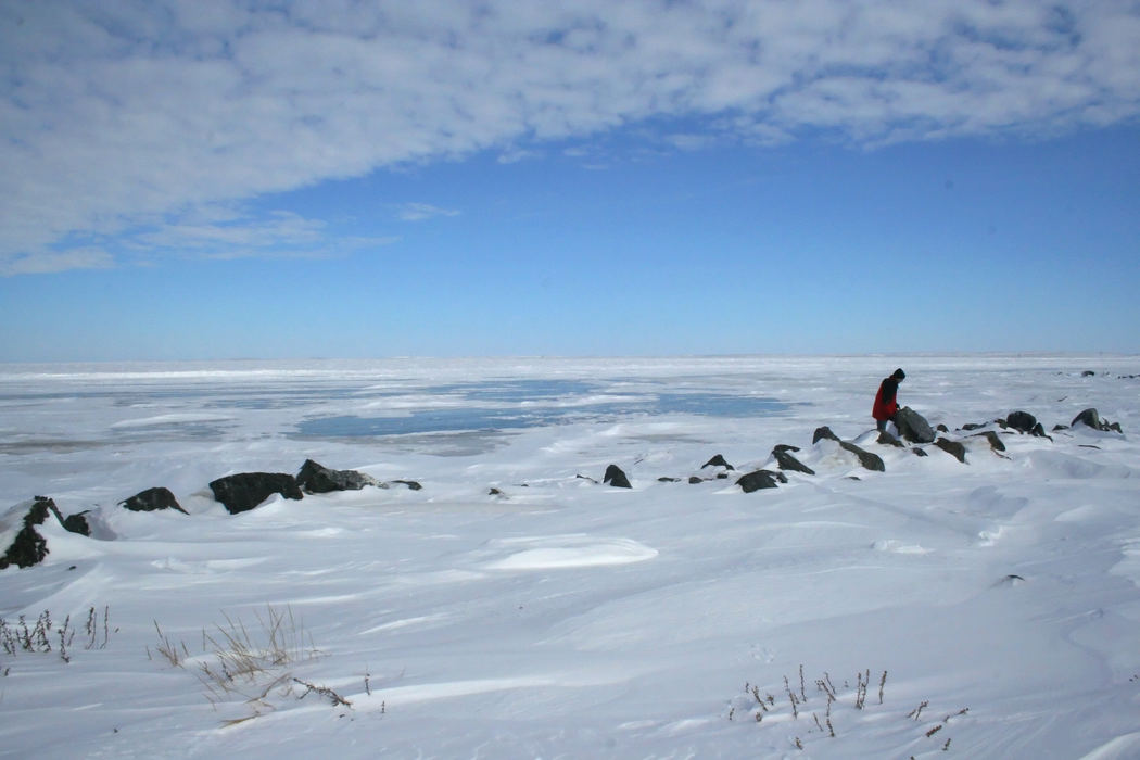
Gallery


Map and nearest places
| Longitude | Latitude |
|---|---|
| 69.442778 | -133.031111 |
| 69°26'0"N | 133°1'0"W |
| Nearest places | ||
|---|---|---|
| Tuktoyaktuk Airport | 1.1km | |
| Inuvik | 123.4km | |
| Inuvik Mike Zubko Airport | 127.9km | |
| Aklavik Airport | 157.1km | |
| Aklavik | 157.5km | |
| Fort MacPherson | 235.7km | |
| Fort McPherson Airport | 238.3km | |
| Old Crown | 345.5km | |
| Old Crow Airport | 346.5km | |
| Paulatuk | 350.5km | |
| Paulatuk Airport | 350.8km | |
| Colville Lake | 391.1km | |
| John Paul II International Airport | 6,541.2km | |
| Port Elizabeth Airport | 15,857.9km | |
Accomodation
Airports
Weblinks
Comments
On 12-16-2019 11:58 Jerzy said:
A direct, nonstop flight between Tuktoyaktuk/James Gruben Airport (YUB), Tuktoyaktuk, Northwest Territories, Canada and John Paul II International Airport Kraków–Balice (KRK), Kraków / Balice, Poland would travel a Great Circle distance of 4,065 miles (or 6,542 kilometers).
You need to log in to add comment