


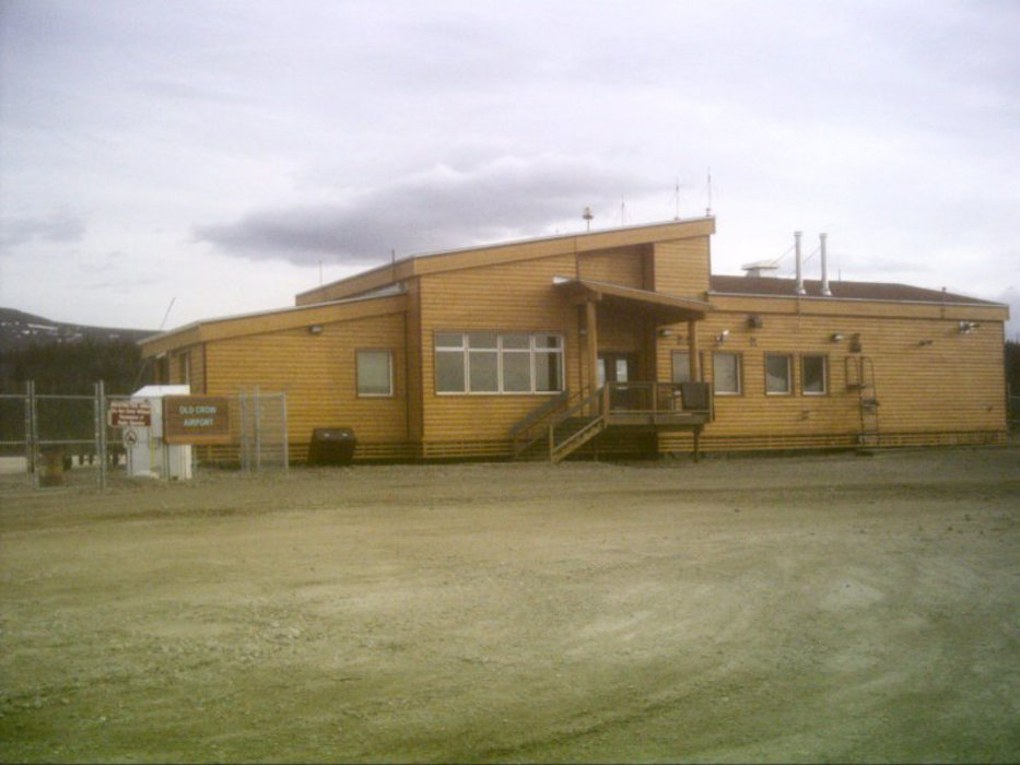
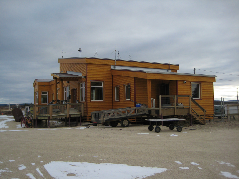
Gallery


Map and nearest places
| Longitude | Latitude |
|---|---|
| 67.5705555555556 | -139.839166666667 |
| 67°34'0"N | 139°50'0"W |
| Nearest places | ||
|---|---|---|
| Old Crown | 1.7km | |
| Fort MacPherson | 211.4km | |
| Fort McPherson Airport | 212.7km | |
| Aklavik | 214.5km | |
| Aklavik Airport | 214.8km | |
| Fort Yukon Airport | 259.3km | |
| Fort Yukon | 259.7km | |
| Circle City | 268.2km | |
| Circle City Airport | 268.5km | |
| Inuvik | 269.4km | |
| Inuvik Mike Zubko Airport | 277.6km | |
| Venetie Airport | 286.9km | |
| John Paul II International Airport | 6,822.5km | |
| Port Elizabeth Airport | 16,165.4km | |
General informations
| Airport type | Local Airport |
| ICAO | CYOC |
| IATA | YOC |
| TC LID | 824 ft / 251 m MSL |
| World Pax Ranking 2010 | #2343 |
| Year | Pax |
|---|---|
| 2010 | 0 |
| 2009 | 0 |
| 2008 | 0 |
| 2007 | 0 |
| 2006 | 0 |
Weblinks
Comments
You need to log in to add comment