


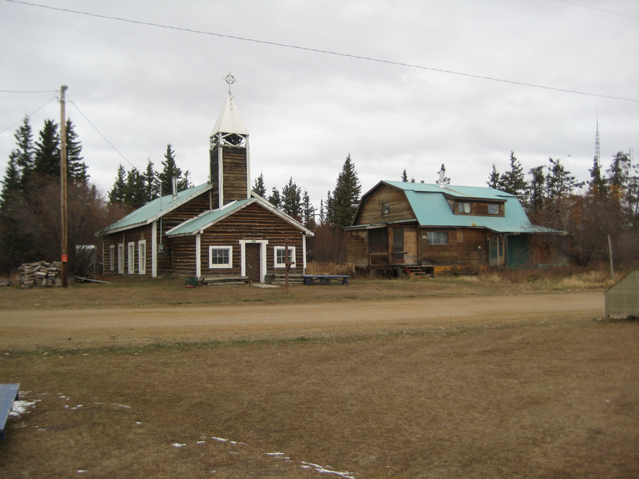
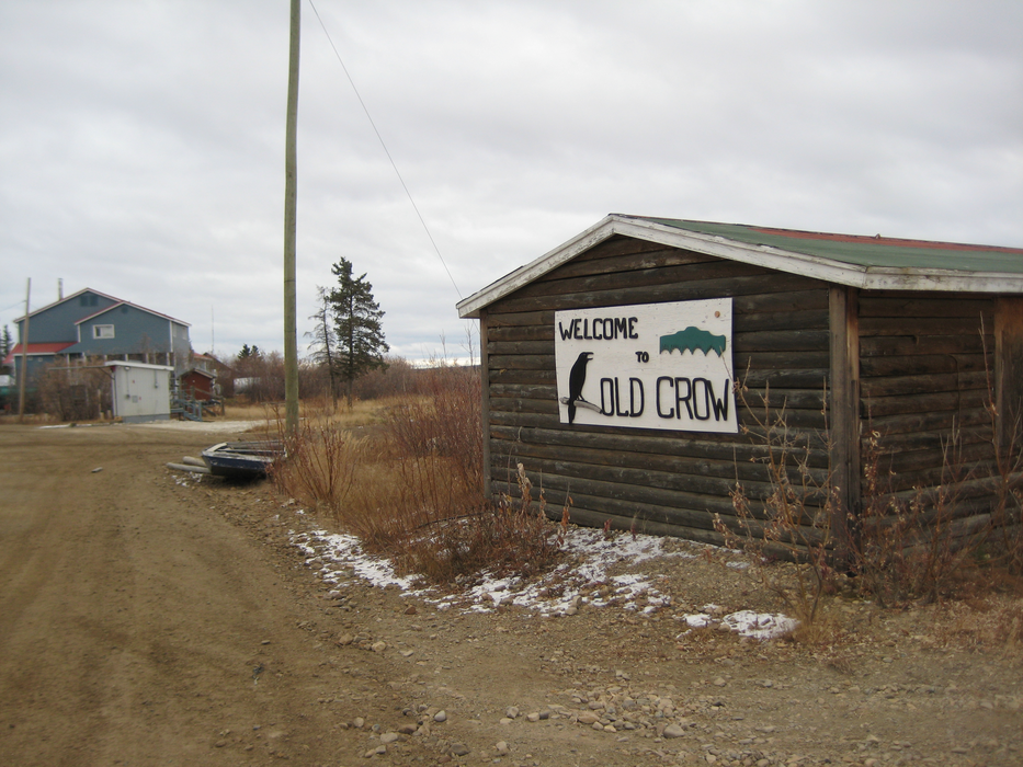
Gallery


Map and nearest places
| Longitude | Latitude |
|---|---|
| 67.56666666666669 | -139.8 |
| 67°34'0"N | 139°48'0"W |
| Nearest places | ||
|---|---|---|
| Old Crow Airport | 1.7km | |
| Fort MacPherson | 209.7km | |
| Fort McPherson Airport | 211.0km | |
| Aklavik | 213.1km | |
| Aklavik Airport | 213.4km | |
| Fort Yukon Airport | 260.7km | |
| Fort Yukon | 261.1km | |
| Inuvik | 268.1km | |
| Circle City | 269.1km | |
| Circle City Airport | 269.4km | |
| Inuvik Mike Zubko Airport | 276.2km | |
| Venetie | 289.3km | |
| John Paul II International Airport | 6,822.5km | |
| Port Elizabeth Airport | 16,165.1km | |
Airports

Weblinks
Comments
You need to log in to add comment