


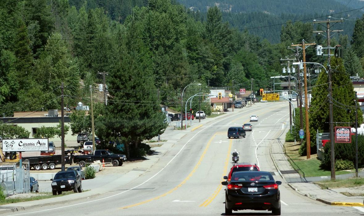
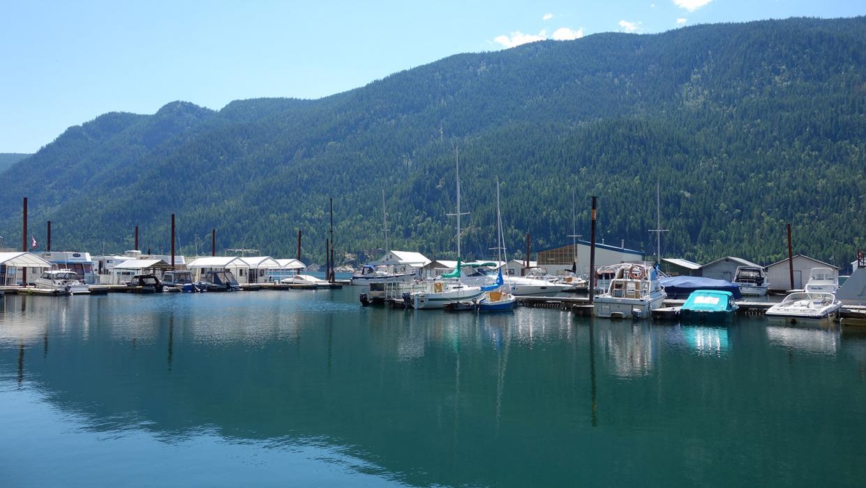
Gallery


Map and nearest places
| Longitude | Latitude |
|---|---|
| 49.326111111111096 | -117.664722222222 |
| 49°19'0"N | 117°39'0"W |
| Nearest places | ||
|---|---|---|
| Castlegar Airport | 4.0km | |
 | Trail | 25.8km |
| Rossland | 29.2km | |
| Trail Airport | 30.4km | |
| Nelson Airport | 32.3km | |
| Nelson | 33.7km | |
| Balfour | 60.9km | |
| Grand Forks | 65.1km | |
| Grand Forks Airport | 65.5km | |
| Ione | 67.5km | |
| Ione Municipal Airport | 71.1km | |
| Crawford Bay Airport | 72.0km | |
| John Paul II International Airport | 8,242.4km | |
| Tolagnaro Airport | 17,003.5km | |
Accomodation
Airports
Weblinks
Comments
You need to log in to add comment