


Gallery


Map and nearest places
| Longitude | Latitude |
|---|---|
| 49.0555555555556 | -117.609166666667 |
| 49°3'0"N | 117°36'0"W |
| Nearest places | ||
|---|---|---|
 | Trail | 7.9km |
| Rossland | 14.1km | |
| Castlegar Airport | 26.8km | |
| Castlegar | 30.4km | |
| Ione | 37.6km | |
| Ione Municipal Airport | 41.2km | |
| Nelson Airport | 53.7km | |
| Nelson | 54.8km | |
| Kettle Falls | 59.9km | |
| Grand Forks Airport | 60.0km | |
| Cavanaugh Bay Airport | 83.0km | |
| Midway Airport | 86.2km | |
| John Paul II International Airport | 8,267.4km | |
| Tolagnaro Airport | 17,026.9km | |
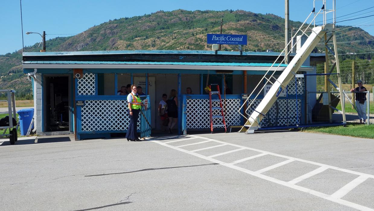
General informations
| Airport type | Regional airport |
| IATA | YZZ |
| TC LID | CAD4 |
Weblinks
Comments
You need to log in to add comment