


_853888735_700.jpg)
_1304897686_700.jpg)
_362743529_700.jpg)


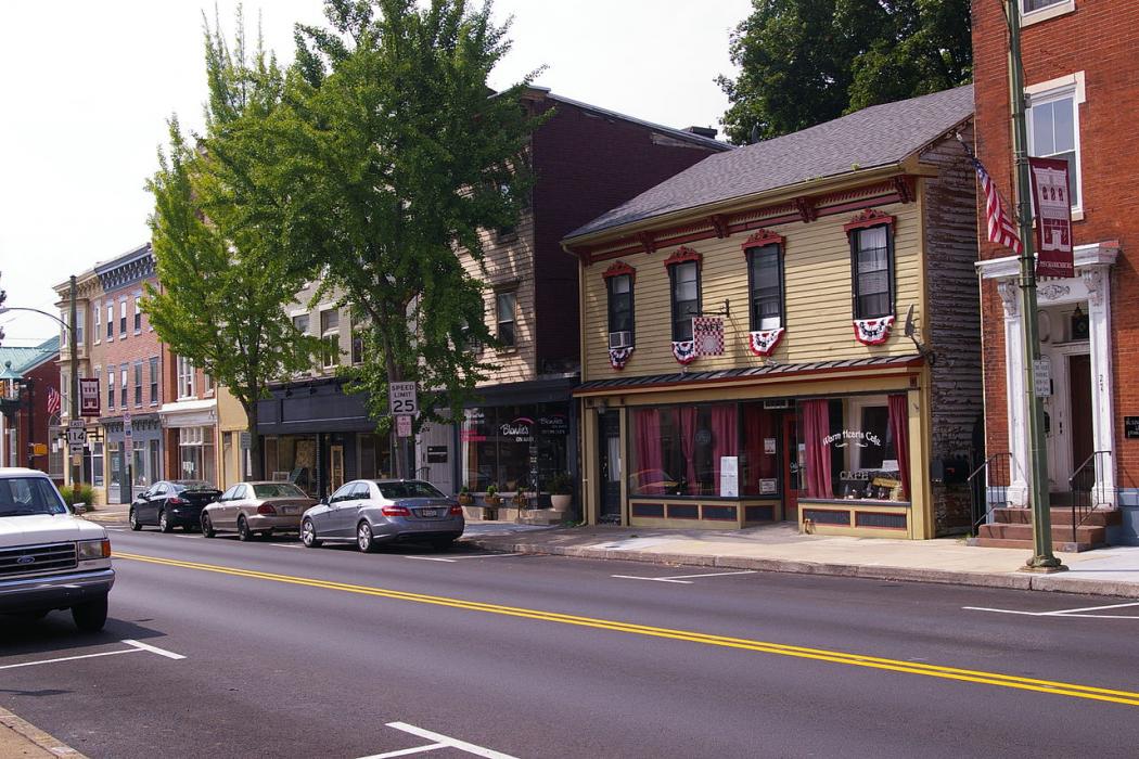
Map and nearest places
| Longitude | Latitude |
|---|---|
| 40.212222 | -77.006111 |
| 40°12'0"N | 77°0'0"W |
| Nearest places | ||
|---|---|---|
 | Harrisburg | 12.8km |
| Capital City Airport | 13.1km | |
 | Carlisle | 16.1km |
| Harrisburg International Airport | 20.7km | |
| Middletown | 23.5km | |
| Hummelstown | 25.7km | |
| Hershey | 31.0km | |
| York | 36.5km | |
| Gettysburg Regional Airport | 47.2km | |
| Lancaster Airport | 61.2km | |
| Carroll County Regional Airport | 67.2km | |
| Schuylkill County (Joe Zerbey) Airport | 76.7km | |
| John Paul II International Airport | 7,124.9km | |
| Busselton Regional Airport | 18,698.0km | |
Accomodation
Restaurants
Wineries
Breweries
Weblinks
Comments
You need to log in to add comment