


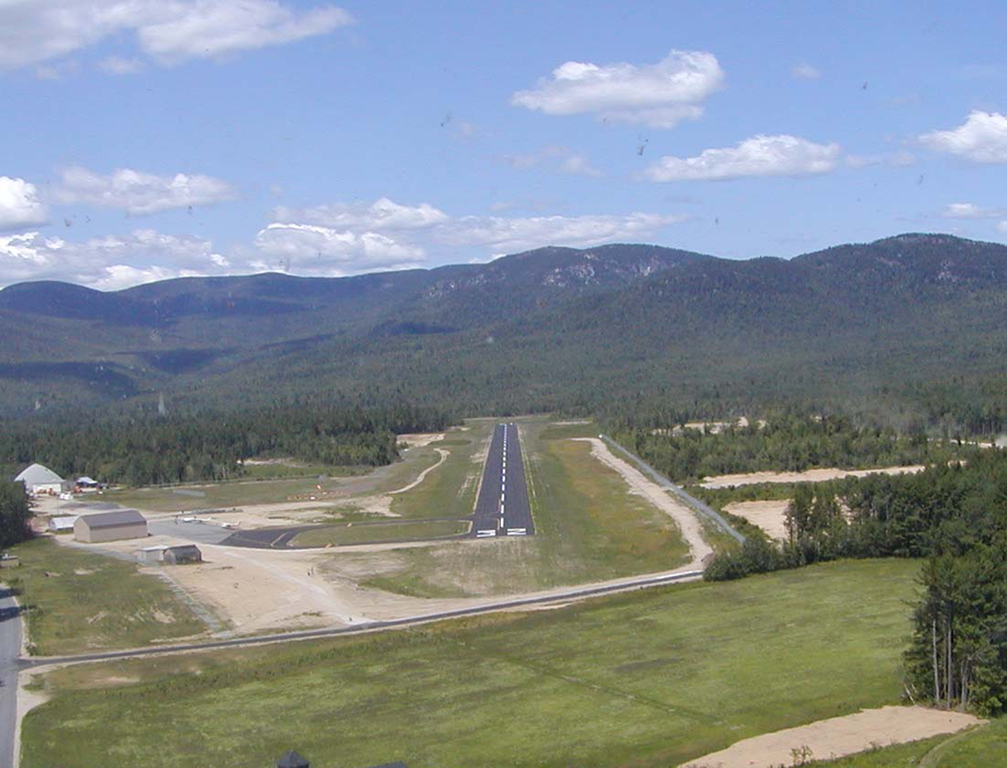
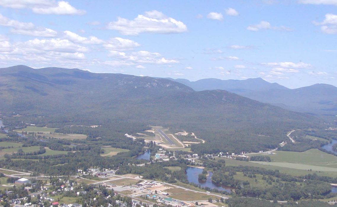
Gallery


Map and nearest places
| Longitude | Latitude |
|---|---|
| 44.425277777777794 | -70.81 |
| 44°25'0"N | 70°48'0"W |
| Nearest places | ||
|---|---|---|
| Bethel | 2.8km | |
| Newry | 7.1km | |
| Gorham | 29.1km | |
 | Berlin | 30.1km |
| Gorham Airport | 31.0km | |
| Berlin Regional Airport | 33.5km | |
| Oxford County Regional Airport | 39.6km | |
| Oxford | 41.6km | |
| Fryeburg | 47.5km | |
| Eastern Slopes Regional Airport | 49.5km | |
| Mount Washington Regional Airport | 58.1km | |
| Auburn/Lewiston Municipal Airport | 59.3km | |
| John Paul II International Airport | 6,433.2km | |
| Albany Airport | 18,730.0km | |
General informations
| Airport type | Local airport |
| FAA | 0B1 |
| Elevation | 654 ft / 199 m MSL |
Weblinks
Comments
On 12-12-2019 19:00 Jerzy said:
2nm NW of Bethel
You need to log in to add comment
2nm NW of Bethel
You need to log in to add comment