


Gallery


Map and nearest places
| Longitude | Latitude |
|---|---|
| 37.66777777777779 | -95.485 |
| 37°40'0"N | 95°29'0"W |
| Nearest places | ||
|---|---|---|
| Chanute | 2.7km | |
| Independence | 53.1km | |
| Independence Municipal Airport | 62.3km | |
| Burlington | 62.9km | |
| Fort Scott Municipal Airport | 64.6km | |
| Atkinson Municipal Airport | 70.7km | |
| Fort Scott | 71.3km | |
| Coffey County Airport | 73.6km | |
| Pittsburg | 74.9km | |
| Ottawa Municipal Airport | 98.9km | |
| Nevada | 101.1km | |
| Joplin Regional Airport | 104.3km | |
| John Paul II International Airport | 8,385.9km | |
| Busselton Regional Airport | 17,204.1km | |
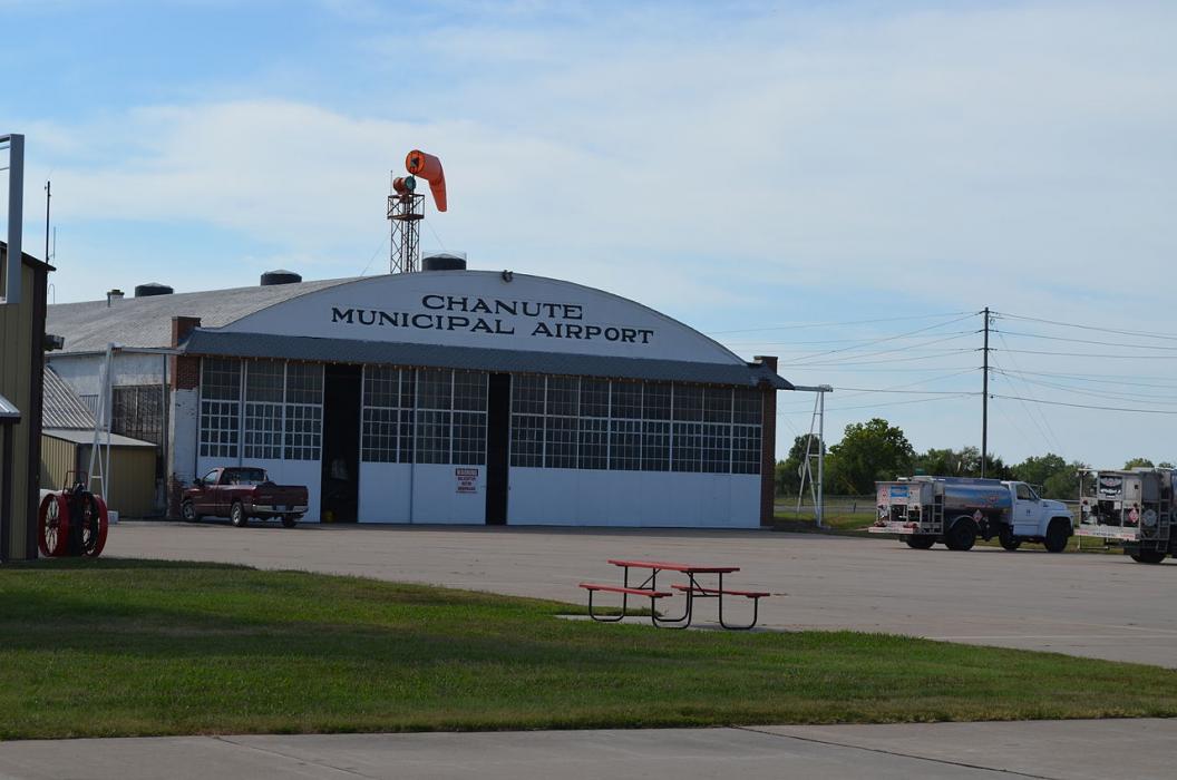
General informations
| Airport type | Local airport |
| ICAO | KCNU |
| IATA | CNU |
| FAA | CNU |
Weblinks
Comments
You need to log in to add comment