


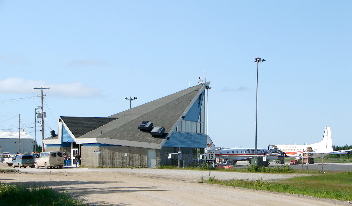
Gallery


Map and nearest places
| Longitude | Latitude |
|---|---|
| 51.2911111111111 | -80.6077777777778 |
| 51°17'0"N | 80°36'0"W |
| Nearest places | ||
|---|---|---|
| Moosonee | 3.2km | |
| Fort Albany | 123.2km | |
| Fort Albany Airport | 126.0km | |
| Waskaganish Airport | 130.0km | |
| Waskaganish | 130.6km | |
| Kashechewan | 132.4km | |
| Kashechewan Airport | 132.5km | |
| Eastmain River Airport | 177.2km | |
| Eastmain | 178.9km | |
| Wemindji | 219.5km | |
| Attawapiskat Airport | 220.5km | |
| Wemindji Airport | 226.4km | |
| John Paul II International Airport | 6,478.3km | |
| Albany Airport | 17,675.3km | |
General informations
| Airport type | Local airport |
| ICAO | CYMO |
| IATA | YMO |
| Elevation | 30 ft / 9 m MSL |
| World Pax Ranking 2010 | #2371 |
| Year | Pax |
|---|---|
| 2010 | 0 |
| 2009 | 0 |
| 2008 | 0 |
| 2007 | 0 |
| 2006 | 0 |
| 2005 | 0 |
Weblinks
Comments
You need to log in to add comment