


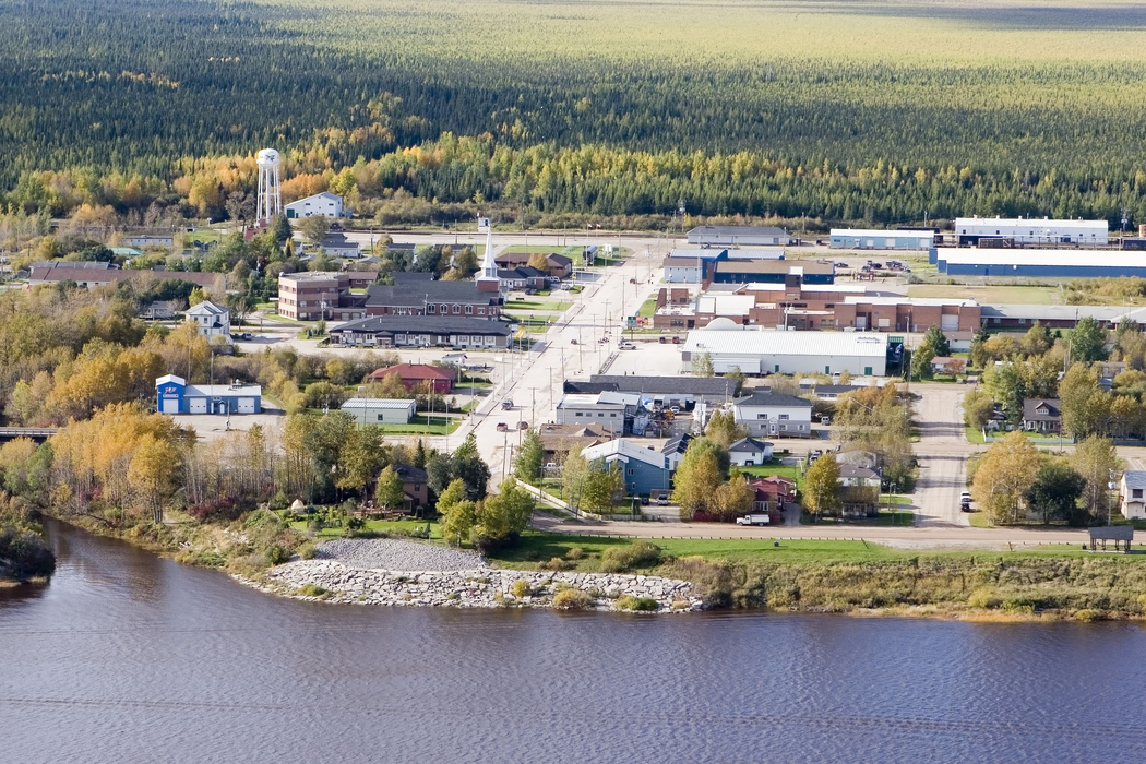
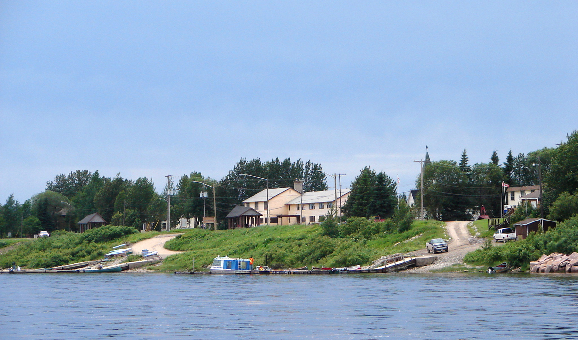
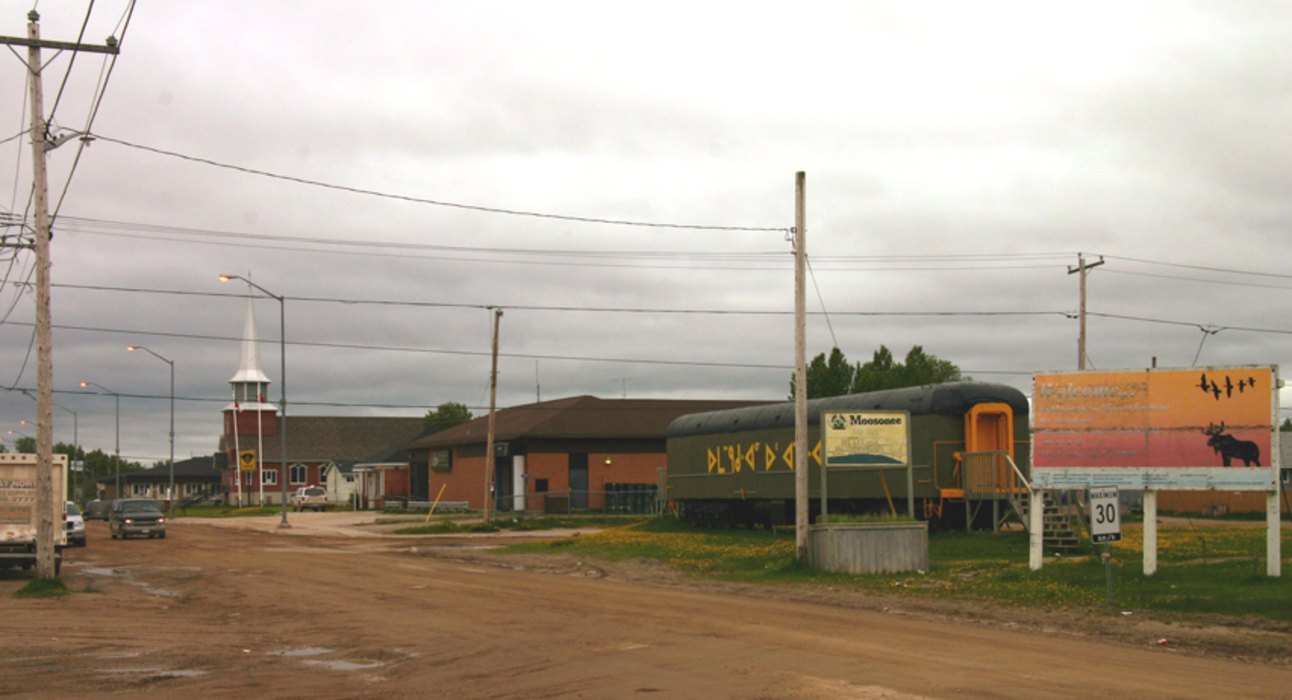
Gallery


Map and nearest places
| Longitude | Latitude |
|---|---|
| 51.272222 | -80.643056 |
| 51°16'0"N | 80°38'0"W |
| Nearest places | ||
|---|---|---|
| Moosonee Airport | 3.2km | |
| Fort Albany | 123.8km | |
| Fort Albany Airport | 126.3km | |
| Waskaganish Airport | 132.7km | |
| Kashechewan | 132.9km | |
| Kashechewan Airport | 133.0km | |
| Waskaganish | 133.4km | |
| Eastmain River Airport | 180.5km | |
| Eastmain | 182.2km | |
| Attawapiskat | 220.2km | |
| Attawapiskat Airport | 220.9km | |
| Wemindji | 222.6km | |
| John Paul II International Airport | 6,481.5km | |
| Albany Airport | 17,675.0km | |
Accomodation
Airports

Weblinks
Comments
You need to log in to add comment