


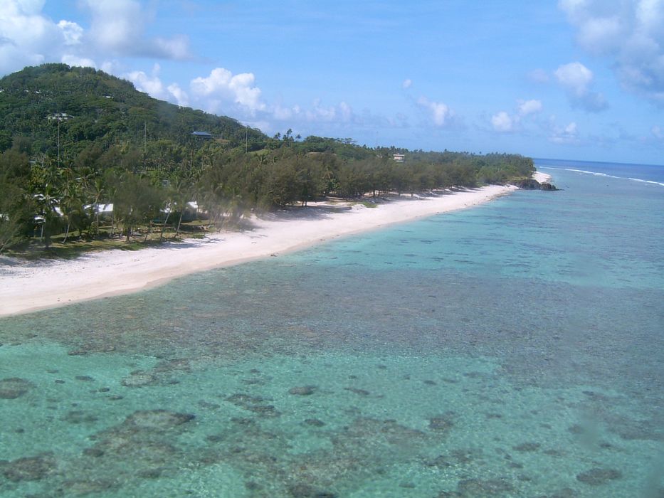
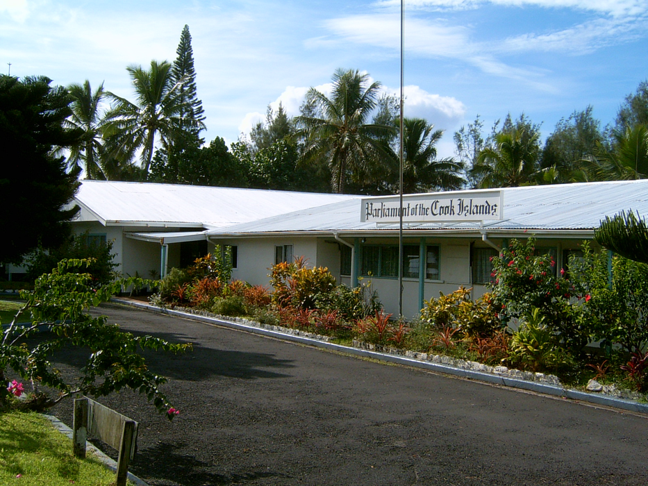
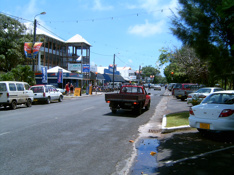
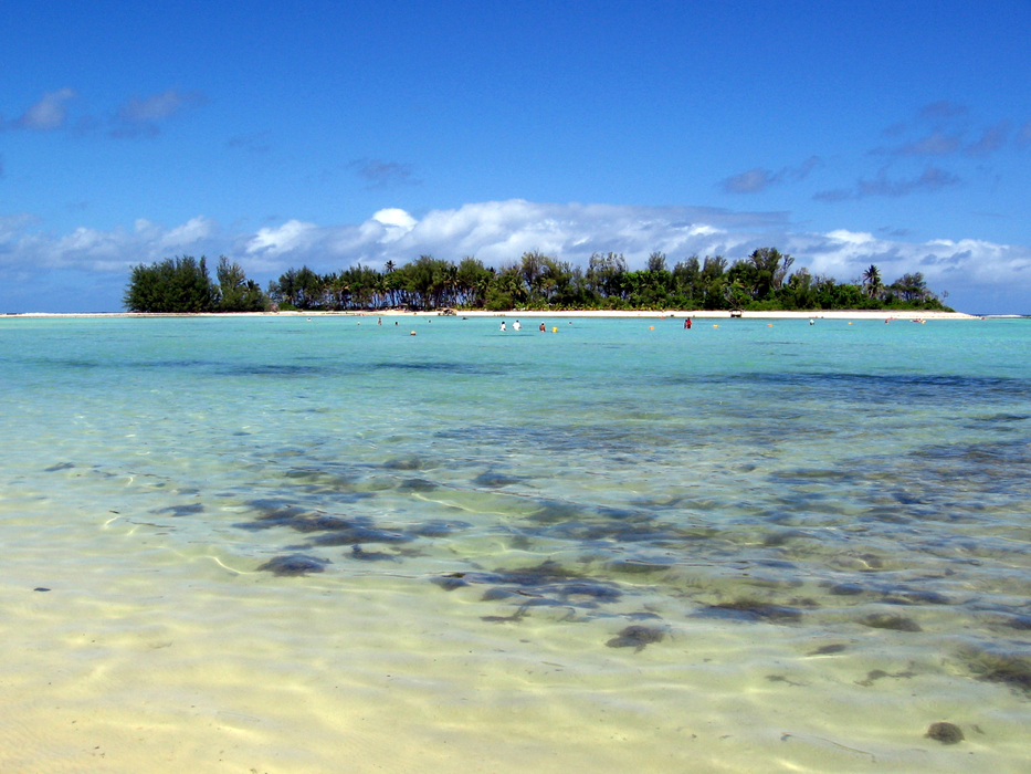
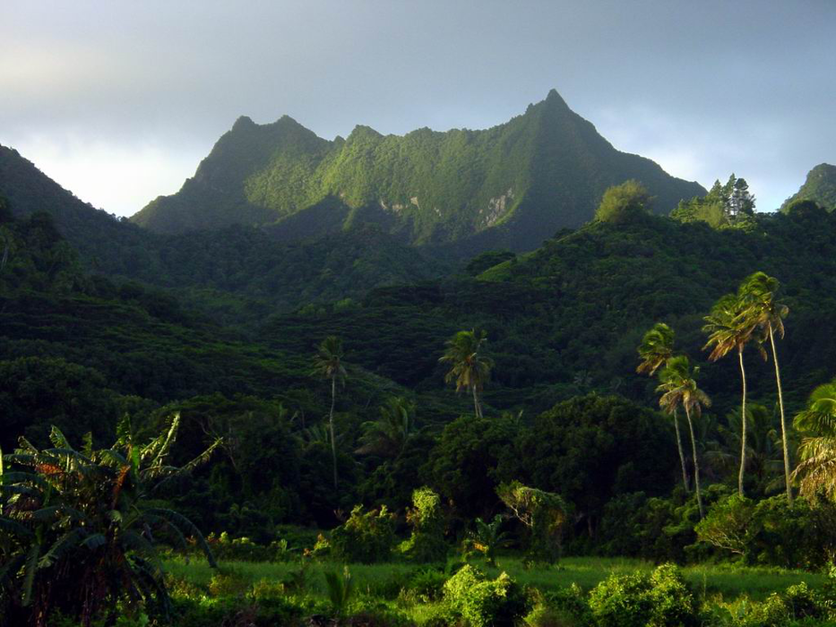
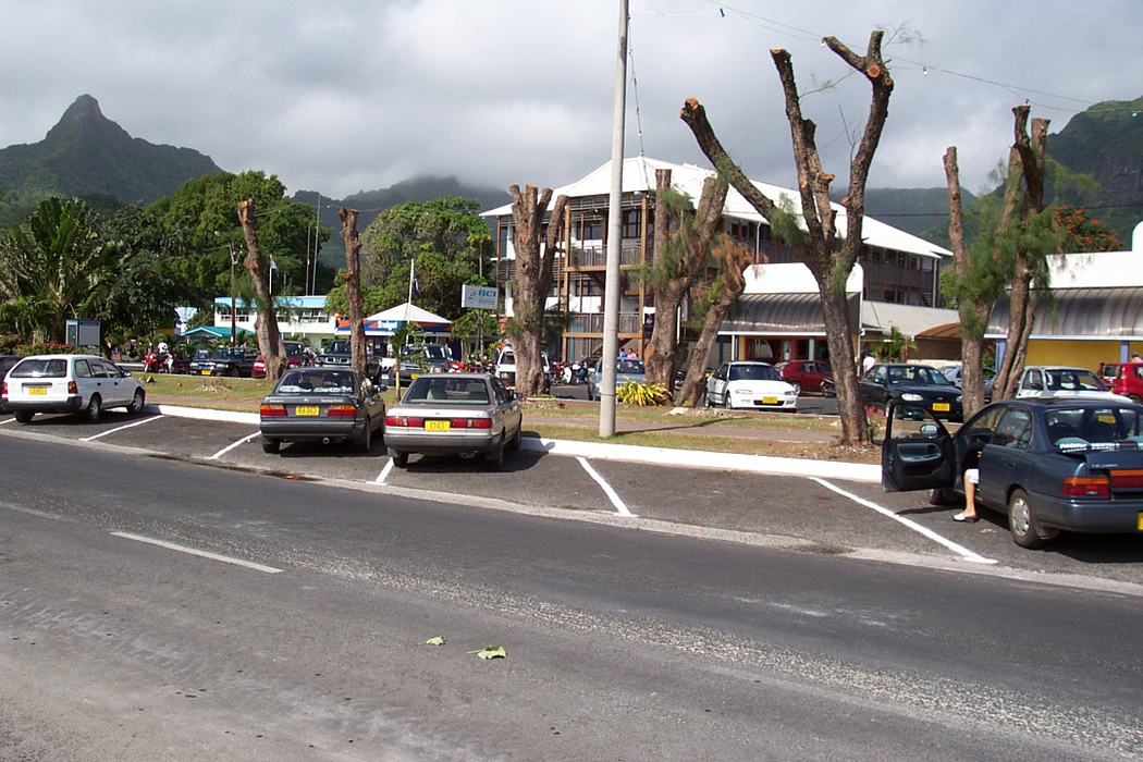
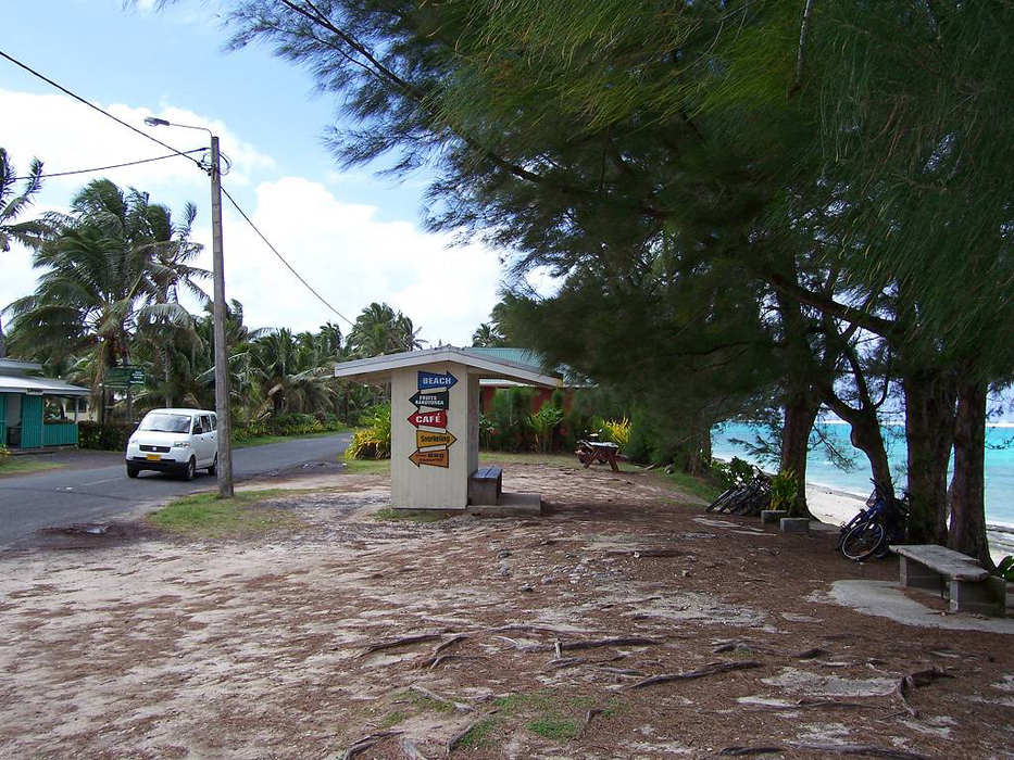
Gallery


Map and nearest places
| Longitude | Latitude |
|---|---|
| -21.2333333333333 | -159.783333333333 |
| 21°13'0"S | 159°46'0"W |
| Nearest places | ||
|---|---|---|
| Rarotonga International Airport | 4.1km | |
| Mangaia Island Airport | 207.8km | |
| Enua Airport | 223.2km | |
| Aitutaki | 265.0km | |
| Mitiaro Island Airport | 266.1km | |
| Araura Airport | 267.2km | |
| Mauke Island Airport | 281.4km | |
| Rurutu | 881.8km | |
| Maupiti | 956.5km | |
| Bora Bora | 997.0km | |
| Raiatea | 1,008.7km | |
| Huahine | 1,049.3km | |
| John Paul II International Airport | 16,807.5km | |
| Faya Largeau Airport | 19,628.6km | |
Accomodation
Airports

Weblinks
Comments
You need to log in to add comment