


Gallery


Map and nearest places
| Longitude | Latitude |
|---|---|
| -18.8308333333333 | -159.764166666667 |
| 18°49'0"S | 159°45'0"W |
| Nearest places | ||
|---|---|---|
| Aitutaki | 4.3km | |
| Enua Airport | 213.9km | |
| Mitiaro Island Airport | 243.7km | |
| Rarotonga International Airport | 263.8km | |
| Rarotonga | 267.2km | |
| Mauke Island Airport | 292.2km | |
| Mangaia Island Airport | 392.0km | |
| Maupiti | 840.2km | |
| Maupiti Airport | 840.5km | |
| Bora Bora | 889.2km | |
| Raiatea | 910.6km | |
| Huahine | 955.8km | |
| John Paul II International Airport | 16,540.4km | |
| Faya Largeau Airport | 19,858.8km | |
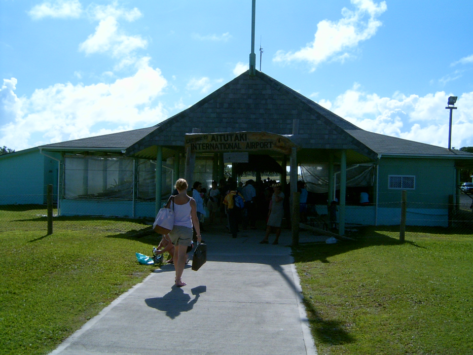
General informations
| Airport type | Local airport |
| ICAO | NCAI |
| IATA | AIT |
| Elevation | 14 ft / 4 m MSL |
| Year | Pax |
|---|---|
| 2009 | 56311 |
| 2008 | 55488 |
Weblinks
Comments
You need to log in to add comment