


Gallery


Map and nearest places
| Longitude | Latitude |
|---|---|
| 25.9447222222222 | 131.326944444444 |
| 25°56'0"N | 131°19'0"E |
| Nearest places | ||
|---|---|---|
| Kitadaito | 2.8km | |
| Minami Daito Jima Airport | 12.6km | |
| MinamiDaito | 16.0km | |
| Kikaiga Shima | 296.7km | |
| Kikai Airport | 298.5km | |
| Okinoerabu Airport | 308.5km | |
| Okino Erabu | 311.4km | |
| Yoron Airport | 315.7km | |
| Tokunoshima | 316.0km | |
| Yoronjima | 316.7km | |
| Amami O Shima Airport | 319.2km | |
| Tokunoshima Airport | 321.0km | |
| John Paul II International Airport | 9,217.8km | |
| Joinville Airport | 19,981.6km | |
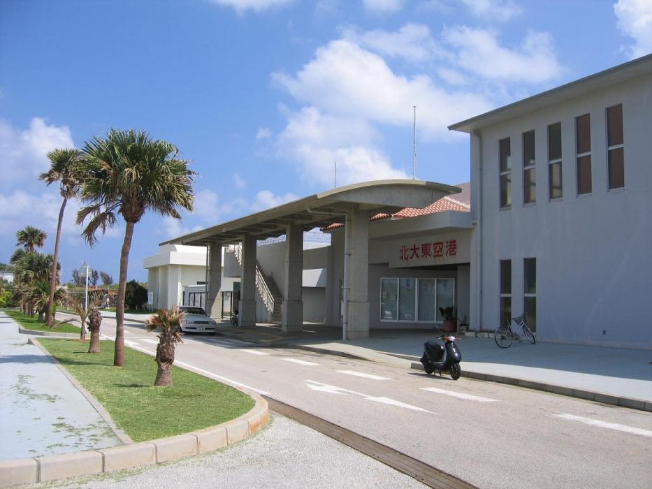
General informations
| Airport type | Local airport |
| ICAO | RORK |
| IATA | KTD |
| Elevation | 80 ft / 24 m MSL |
| World Pax Ranking 2019 | #2113 |
| World Pax Ranking 2015 | #2138(+39) |
| World Pax Ranking 2014 | #2177 |
| Year | Pax |
|---|---|
| 2019 | 21651 |
| 2015 | 17208 |
| 2014 | 17279 |
Weblinks
Comments
You need to log in to add comment