


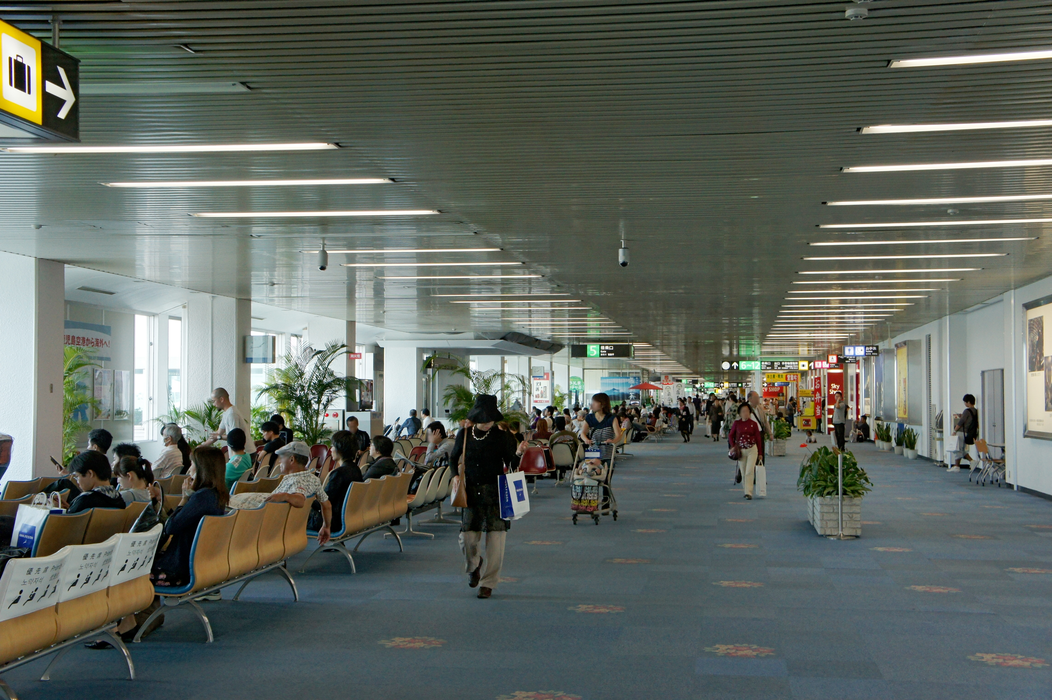
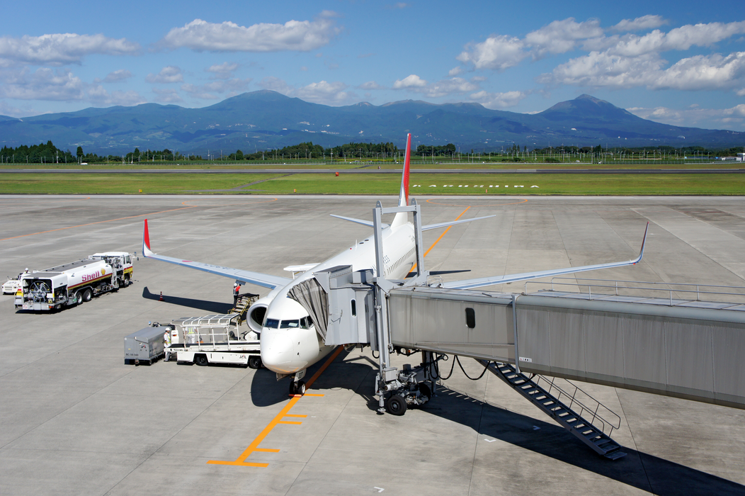
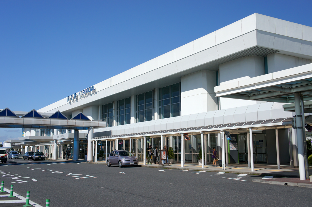
Gallery


Map and nearest places
| Longitude | Latitude |
|---|---|
| 31.8033333333333 | 130.719444444444 |
| 31°48'0"N | 130°43'0"E |
| Nearest places | ||
|---|---|---|
| Kagoshima | 26.9km | |
| Miyazaki | 67.0km | |
| Miyazaki Airport | 69.4km | |
| Amakusa Airport | 92.1km | |
| Amakusa | 104.4km | |
| Kumamoto | 109.0km | |
| Kumamoto Airport | 115.7km | |
| Ojika Island | 129.4km | |
| Nagasaki | 135.3km | |
| New Tanegashima Airport | 135.7km | |
| Nagasaki Airport | 145.1km | |
| Saga Airport | 154.7km | |
| John Paul II International Airport | 8,664.2km | |
| Salgado Filho International Airport | 19,744.9km | |
General informations
| Airport type | Regional airport |
| ICAO | RJFK |
| IATA | KOJ |
| Elevation | 906 ft / 276 m MSL |
| World Pax Ranking 2023 | #324(-13) |
| World Pax Ranking 2022 | #311(+44) |
| World Pax Ranking 2021 | #355(-82) |
| World Pax Ranking 2020 | #273(+41) |
| World Pax Ranking 2019 | #314(-2) |
| World Pax Ranking 2018 | #312(-8) |
| World Pax Ranking 2017 | #304(-9) |
| World Pax Ranking 2016 | #295(-6) |
| World Pax Ranking 2015 | #289(-8) |
| World Pax Ranking 2014 | #281(-5) |
| World Pax Ranking 2013 | #276(+9) |
| World Pax Ranking 2012 | #285(-4) |
| World Pax Ranking 2011 | #281(-23) |
| World Pax Ranking 2010 | #258(-26) |
| Year | Pax |
|---|---|
| 2024 | 5637891 |
| 2023 | 5516213 |
| 2022 | 4678643 |
| 2021 | 2429810 |
| 2020 | 2581006 |
| 2019 | 6072593 |
| 2018 | 5978617 |
| 2017 | 5617997 |
| 2016 | 5372863 |
| 2015 | 5192010 |
| 2014 | 5154250 |
| 2013 | 5042755 |
| 2012 | 4709130 |
| 2011 | 4461208 |
| 2010 | 4967625 |
| 2009 | 5032123 |
| 2008 | 5539453 |
| 2007 | 5596210 |
| 2006 | 5715257 |
| 2005 | 5714196 |
| 2004 | 5810884 |
| 2003 | 6224803 |
| 2002 | 6254961 |
| 2001 | 6064037 |
| 2000 | 6133667 |
| 1999 | 6143014 |
Weblinks
Comments
You need to log in to add comment