


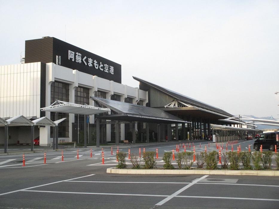
Gallery


Map and nearest places
| Longitude | Latitude |
|---|---|
| 32.8372222222222 | 130.855 |
| 32°50'0"N | 130°51'0"E |
| Nearest places | ||
|---|---|---|
| Kumamoto | 12.9km | |
| Saga Airport | 62.2km | |
| Saga | 63.6km | |
| Amakusa | 65.3km | |
| Amakusa Airport | 76.2km | |
| Oita | 82.8km | |
| Nagasaki Airport | 88.4km | |
| Fukuoka Airport | 91.4km | |
| Nagasaki | 92.6km | |
 | Fukuoka | 93.1km |
| Oita Airport | 108.8km | |
| Kokura Airport | 113.4km | |
| John Paul II International Airport | 8,581.2km | |
| Rio Grande Airport | 19,719.4km | |
General informations
| Airport type | Regional airport |
| ICAO | RJFT |
| IATA | KMJ |
| Elevation | 642 ft / 196 m MSL |
| World Pax Ranking 2023 | #437(+46) |
| World Pax Ranking 2022 | #483(+85) |
| World Pax Ranking 2021 | #568(-123) |
| World Pax Ranking 2020 | #445(-23) |
| World Pax Ranking 2019 | #422(+3) |
| World Pax Ranking 2018 | #425(-19) |
| World Pax Ranking 2017 | #406(+10) |
| World Pax Ranking 2016 | #416(-29) |
| World Pax Ranking 2015 | #387(+1) |
| World Pax Ranking 2014 | #388(-11) |
| World Pax Ranking 2013 | #377(-3) |
| World Pax Ranking 2012 | #374(-10) |
| World Pax Ranking 2011 | #364(-12) |
| World Pax Ranking 2010 | #352(-10) |
| Year | Pax |
|---|---|
| 2024 | 3544044 |
| 2023 | 3241876 |
| 2022 | 2263376 |
| 2021 | 1177315 |
| 2020 | 1309876 |
| 2019 | 3495188 |
| 2018 | 3409760 |
| 2017 | 3303242 |
| 2016 | 2986610 |
| 2015 | 3241613 |
| 2014 | 3067624 |
| 2013 | 2989458 |
| 2012 | 2912028 |
| 2011 | 2816245 |
| 2010 | 2874963 |
| 2009 | 2851772 |
| 2008 | 3107076 |
| 2007 | 3172362 |
| 2006 | 3137184 |
| 2005 | 3125270 |
| 2004 | 3049281 |
| 2003 | 3053818 |
| 2002 | 2863499 |
| 2001 | 2769086 |
| 2000 | 2717086 |
Weblinks
Comments
You need to log in to add comment