


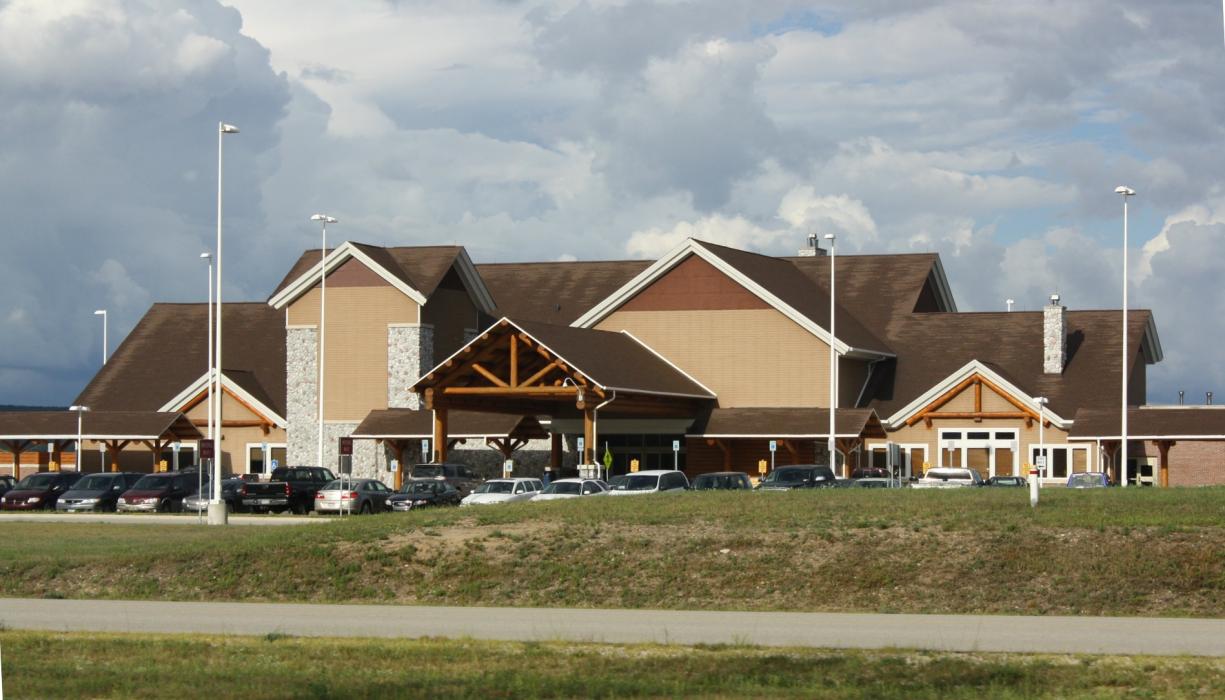
Gallery


Map and nearest places
| Longitude | Latitude |
|---|---|
| 45.570833333333304 | -84.79666666666671 |
| 45°34'0"N | 84°47'0"W |
| Nearest places | ||
|---|---|---|
| Pellston | 2.2km | |
| Harbor Springs Municipal Airport | 18.5km | |
| Harbor Springs | 21.7km | |
| Cheboygan County Airport | 23.5km | |
| Mackinaw City | 24.3km | |
| Petoskey | 25.2km | |
| Cheboygan | 26.5km | |
| Saint Ignace | 33.3km | |
| Makinac Island Airport | 34.9km | |
| Charlevoix Municipal Airport | 47.6km | |
| Beaver Island Airport | 61.4km | |
| Gaylord Regional Airport | 62.4km | |
| John Paul II International Airport | 7,143.4km | |
| Busselton Regional Airport | 17,849.6km | |
General informations
| Airport type | Regional airport |
| ICAO | KPLN |
| IATA | PLN |
| FAA | PLN |
| Elevation | 721 ft / 220 m MSL |
| World Pax Ranking 2023 | #1455(+138) |
| World Pax Ranking 2022 | #1593(-50) |
| World Pax Ranking 2021 | #1543(+75) |
| World Pax Ranking 2020 | #1618(+195) |
| World Pax Ranking 2019 | #1813(+86) |
| World Pax Ranking 2018 | #1899 |
| World Pax Ranking 2014 | #1839(-36) |
| World Pax Ranking 2013 | #1803(-33) |
| World Pax Ranking 2012 | #1770(-71) |
| World Pax Ranking 2011 | #1699(-73) |
| World Pax Ranking 2010 | #1626(-7) |
| Year | Pax |
|---|---|
| 2024 | 61770 |
| 2023 | 44522 |
| 2022 | 50816 |
| 2021 | 58482 |
| 2020 | 31628 |
| 2019 | 58100 |
| 2018 | 50928 |
| 2017 | 48000 |
| 2016 | 50000 |
| 2015 | 50000 |
| 2014 | 56817 |
| 2013 | 53831 |
| 2012 | 48661 |
| 2011 | 45442 |
| 2010 | 46619 |
| 2009 | 46219 |
| 2008 | 50263 |
| 2007 | 58902 |
| 2006 | 64719 |
| 2005 | 76400 |
| 2004 | 75867 |
| 2003 | 64270 |
| 2002 | 66707 |
| 2001 | 58928 |
| 2000 | 64123 |
| 1999 | 63894 |
| 1998 | 69370 |
| 1997 | 66703 |
| 1996 | 57704 |
| 1995 | 50334 |
| 1957 | 17718 |
| 1956 | 14051 |
| 1955 | 17708 |
Weblinks
Comments
You need to log in to add comment