


Gallery


Map and nearest places
| Longitude | Latitude |
|---|---|
| 45.304722222222196 | -85.2752777777778 |
| 45°18'0"N | 85°16'0"W |
| Nearest places | ||
|---|---|---|
| Charlevoix | 2.0km | |
| Boyne City | 22.7km | |
| Central Lake | 26.1km | |
| Petoskey | 26.1km | |
| Harbor Springs | 26.3km | |
| Harbor Springs Municipal Airport | 31.3km | |
| Antrim County Airport | 35.7km | |
| Bellaire | 37.2km | |
| Pellston Regional Airport | 47.6km | |
| Beaver Island Airport | 48.7km | |
| Gaylord Regional Airport | 55.3km | |
| Cherry Capital Airport | 67.1km | |
| John Paul II International Airport | 7,190.6km | |
| Busselton Regional Airport | 17,831.9km | |
General informations
| Airport type | Local airport |
| ICAO | KCVX |
| FAA | CVX |
| Elevation | 669 ft / 204 m MSL |
| Year | Pax |
|---|---|
| 2005 | 24463 |
| 2004 | 25125 |
| 2003 | 27420 |
| 2002 | 25746 |
| 2001 | 30700 |
| 2000 | 30500 |
Weblinks
Comments
On 04-10-2026 16:20 Jerzy said:
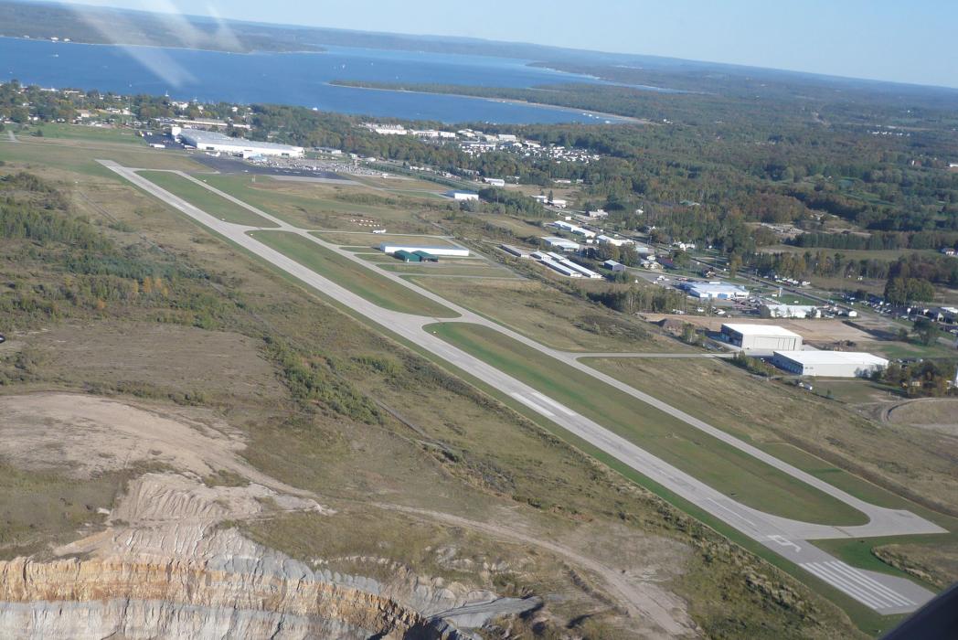
1nm SW of Charlevoix
You need to log in to add comment
1nm SW of Charlevoix
You need to log in to add comment