


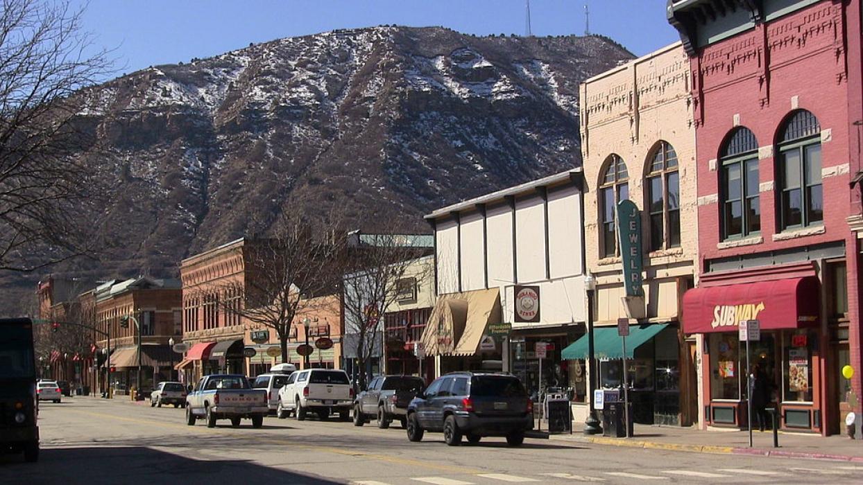
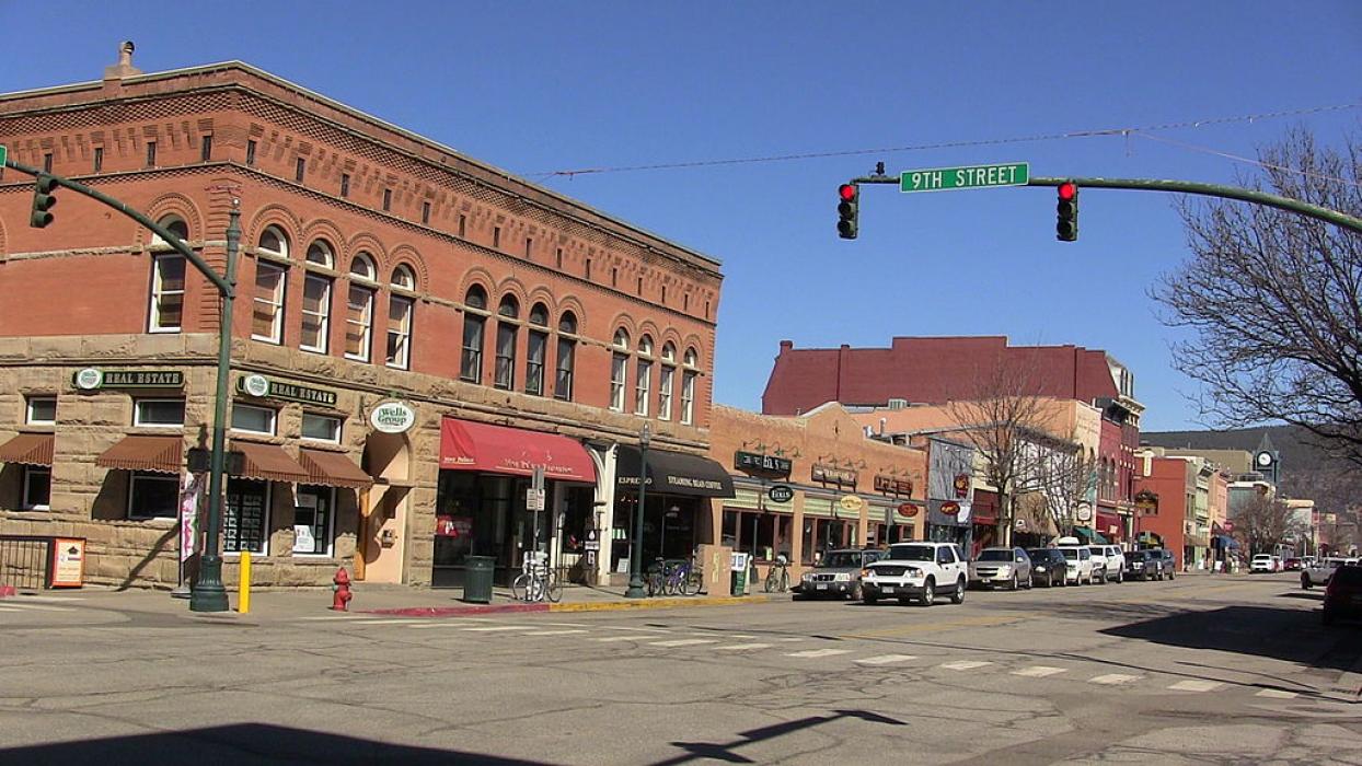
Gallery


Map and nearest places
| Longitude | Latitude |
|---|---|
| 37.275277777777795 | -107.88 |
| 37°16'0"N | 107°52'0"W |
| Nearest places | ||
|---|---|---|
| Durango-La Plata County Airport | 17.7km | |
| Aztec Municipal Airport | 50.7km | |
| Aztec | 51.0km | |
| Navajo Dam | 55.7km | |
| Navajo Lake Airport | 55.7km | |
| Cortez | 62.4km | |
 | Farmington | 63.4km |
| Bloomfield | 63.4km | |
| Cortez Municipal Airport | 66.1km | |
| Four Corners Regional Airport | 67.0km | |
| Stevens Field Airport | 72.9km | |
| Mountain Village | 73.3km | |
| John Paul II International Airport | 9,032.5km | |
| Sir Ga�tan Duval Airport | 17,890.1km | |
Accomodation
Restaurants
Golfs club
Spirits Distillery
Airports
Weblinks
Comments
On 01-02-2020 21:37 Jerzy said:
There are 231.05 miles from Durango to Denver in northeast direction and 335 miles (539.13 kilometers) by car, following the US-24 and US-285 route. Durango and Denver are 6 hours 5 mins far apart, if you drive non-stop.
You need to log in to add comment
There are 231.05 miles from Durango to Denver in northeast direction and 335 miles (539.13 kilometers) by car, following the US-24 and US-285 route. Durango and Denver are 6 hours 5 mins far apart, if you drive non-stop.
You need to log in to add comment