


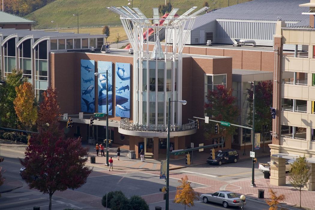
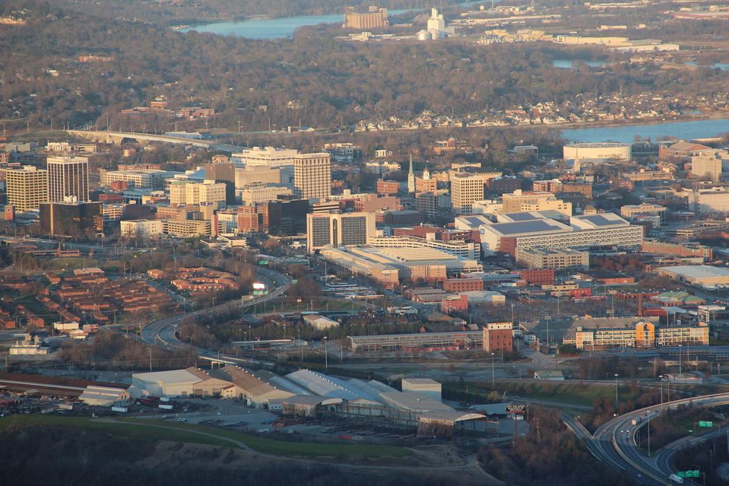


Map and nearest places
| Longitude | Latitude |
|---|---|
| 35.033333333333296 | -85.26666666666671 |
| 35°1'0"N | 85°16'0"W |
| Nearest places | ||
|---|---|---|
| Chattanooga Metropolitan Airport | 5.5km | |
| Ringgold | 18.9km | |
| Cleveland | 39.1km | |
| Dalton | 39.7km | |
| Dunlap | 39.8km | |
| Dalton Municipal Airport | 50.0km | |
| Dayton | 56.6km | |
| Calhoun | 66.0km | |
| Tom B. David Field Airport | 70.9km | |
| Winchester Municipal Airport | 74.5km | |
| Richard B Russell Airport | 76.5km | |
| Warren County Memorial Airport | 90.6km | |
| John Paul II International Airport | 8,041.0km | |
| Busselton Regional Airport | 18,116.1km | |
Golfs club
Wineries
Spirits Distillery
Airports

Weblinks
Comments
You need to log in to add comment