


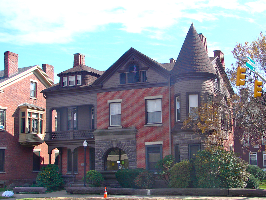
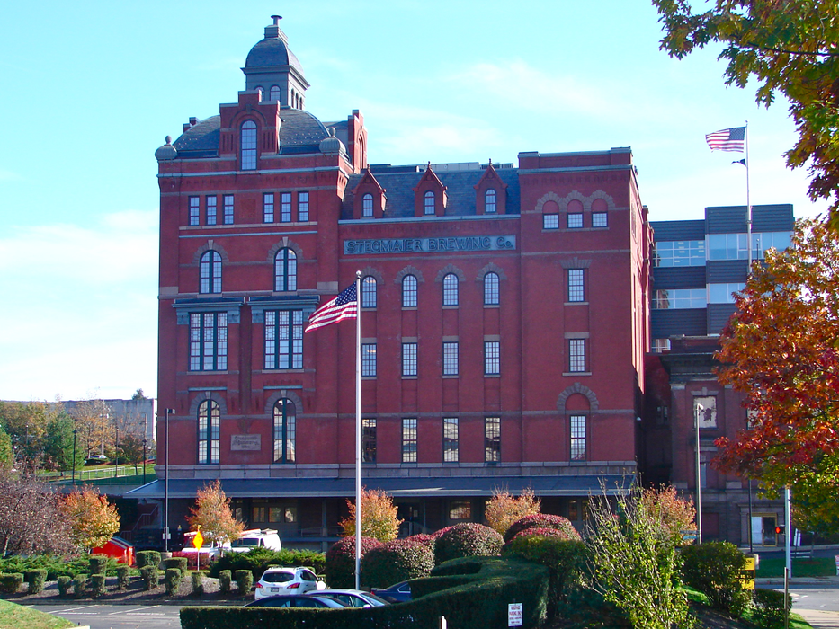
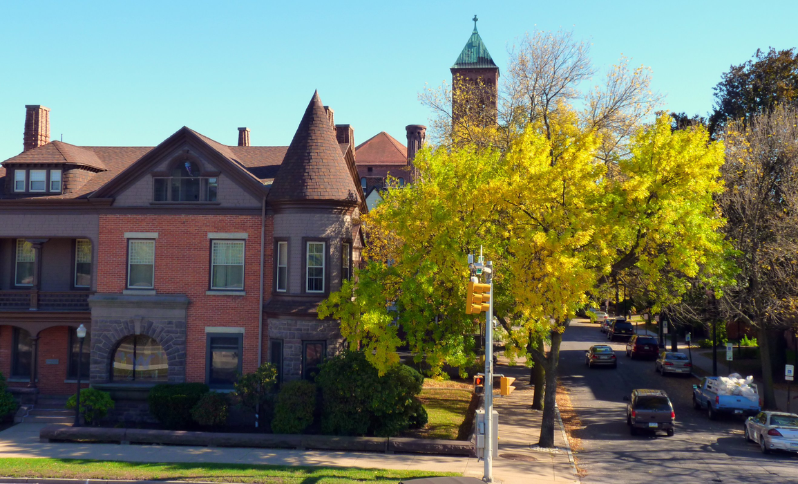
Gallery


Map and nearest places
| Longitude | Latitude |
|---|---|
| 41.244444444444404 | -75.87805555555549 |
| 41°14'0"N | 75°52'0"W |
| Nearest places | ||
|---|---|---|
| Dallas | 12.3km | |
| Wilkes-Barre/Scranton International Airport | 16.6km | |
| Jim Thorpe | 43.0km | |
| Tamaqua | 50.1km | |
| Tannersville | 53.0km | |
| Bloomsburg | 55.3km | |
| New Tripoli | 63.6km | |
| Schuylkill County (Joe Zerbey) Airport | 72.8km | |
| Lehigh Valley International Airport | 75.4km | |
| Blairstown Airport | 79.8km | |
| Allentown Queen City Municipal Airport | 81.8km | |
| Williamsport Regional Airport | 87.2km | |
| John Paul II International Airport | 6,976.6km | |
| Busselton Regional Airport | 18,715.1km | |
Restaurants
Breweries
Airports
Weblinks
Comments
You need to log in to add comment