


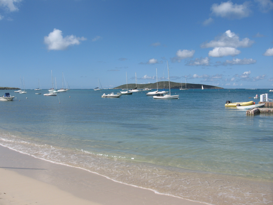
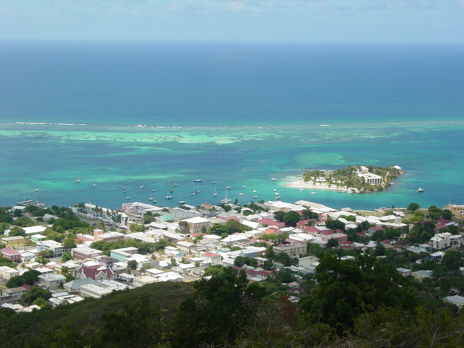
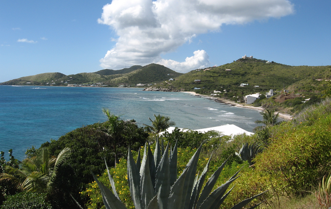


Map and nearest places
| Longitude | Latitude |
|---|---|
| 17.75 | -64.833333 |
| 17°45'0"N | 64°49'0"W |
| Nearest places | ||
|---|---|---|
| Henry E. Rohlsen Airport | 6.5km | |
| Christiansted Harbor Seaplane Base | 13.6km | |
| Water Island | 64.6km | |
| Saint Thomas Island | 65.5km | |
| St John Island | 65.7km | |
| Charlotte Amalie Harbor SPB | 66.4km | |
| Cyrill King Airport | 67.0km | |
| Little Thatch Island | 71.1km | |
| Peter Island | 72.9km | |
_337859396_16.png) | Vieques | 74.0km |
| Benjamin Rivera Noriega Airport | 80.0km | |
| Antonio Rivera Rodriguez Airport | 81.9km | |
| John Paul II International Airport | 8,125.5km | |
| Barrow Island Airport | 19,667.9km | |
Accomodation
Restaurants
Airports
Weblinks
Comments
You need to log in to add comment