


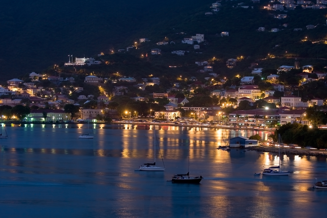
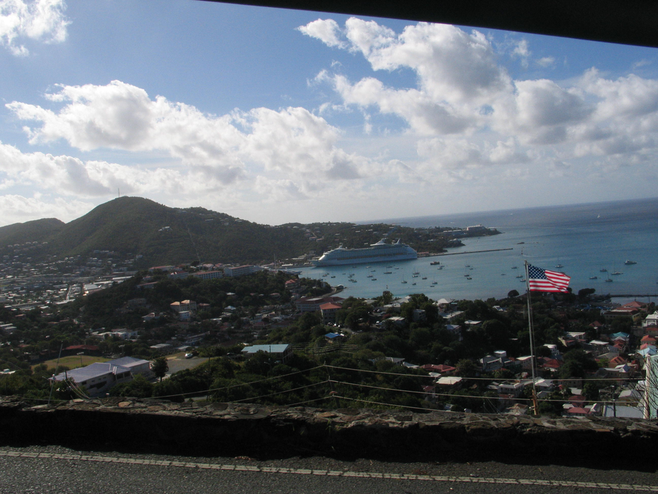
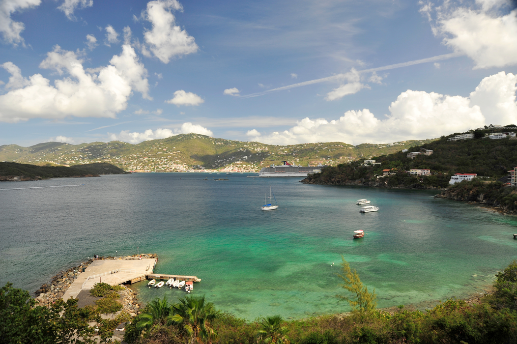
Gallery


Map and nearest places
| Longitude | Latitude |
|---|---|
| 18.333333 | -64.916667 |
| 18°19'0"N | 64°55'0"W |
| Nearest places | ||
|---|---|---|
| Charlotte Amalie Harbor SPB | 2.6km | |
| Water Island | 4.2km | |
| Cyrill King Airport | 6.0km | |
| St John Island | 19.4km | |
| Little Thatch Island | 21.9km | |
| Jost Van Dyke Island | 23.3km | |
| Tortola Island | 36.4km | |
| Peter Island | 36.6km | |
| Benjamin Rivera Noriega Airport | 41.0km | |
| Terramce B Lettsome | 41.3km | |
| Virgin Gorda Airport | 52.9km | |
| Antonio Rivera Rodriguez Airport | 64.8km | |
| John Paul II International Airport | 8,083.1km | |
| Barrow Island Airport | 19,731.6km | |
Accomodation
Airports
Weblinks
Comments
You need to log in to add comment