


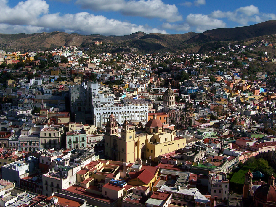
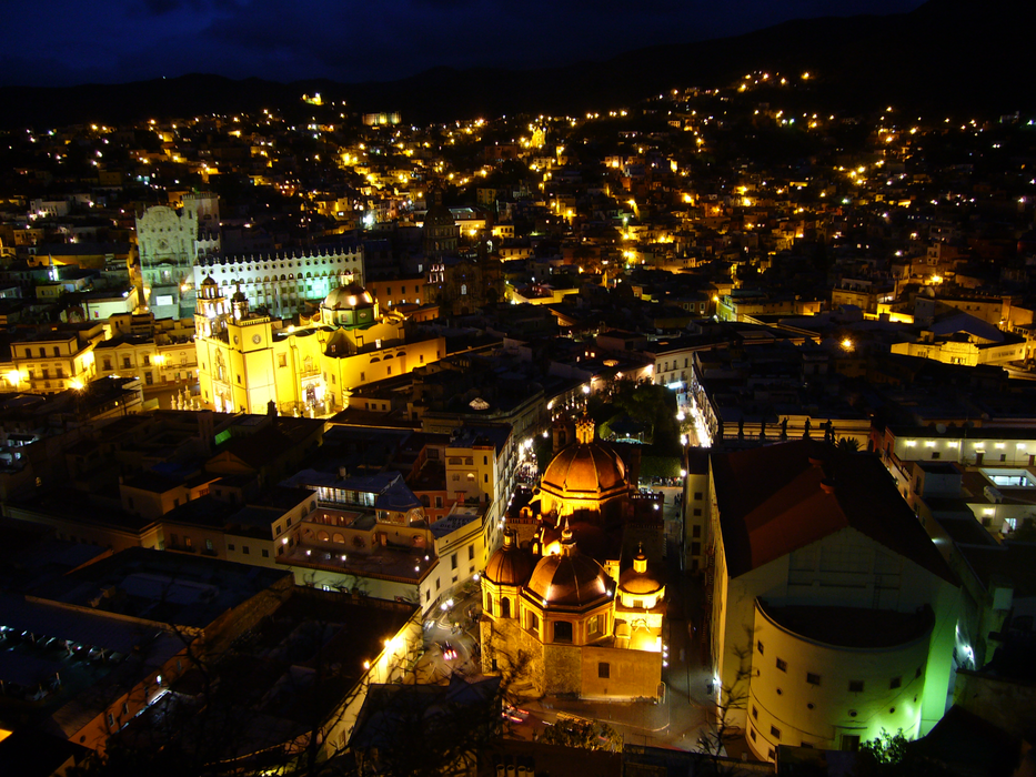


Map and nearest places
| Longitude | Latitude |
|---|---|
| 21.018889 | -101.262778 |
| 21°1'0"N | 101°15'0"W |
| Nearest places | ||
|---|---|---|
| Aeropuerto Internacional Del Baj | 22.8km | |
| San Felipe | 51.6km | |
 | San Miquel de Allende | 54.8km |
| San Miguel de Allende | 55.1km | |
| San Francisco del Rincón | 61.8km | |
| Captain Rogelio Castillo National Airport | 65.6km | |
 | Celaya | 72.4km |
 | Lagos de Moreno | 77.1km |
| Queretaro International Airport | 120.1km | |
| General Francisco Mujica International Airport | 132.3km | |
| Jesus Teran Peredo International Airport | 133.3km | |
| Ponciano Arriaga Airport | 141.6km | |
| John Paul II International Airport | 10,223.5km | |
| Sir Gaėtan Duval Airport | 18,407.0km | |
Accomodation
Restaurants
Airports
Weblinks
Comments
You need to log in to add comment