


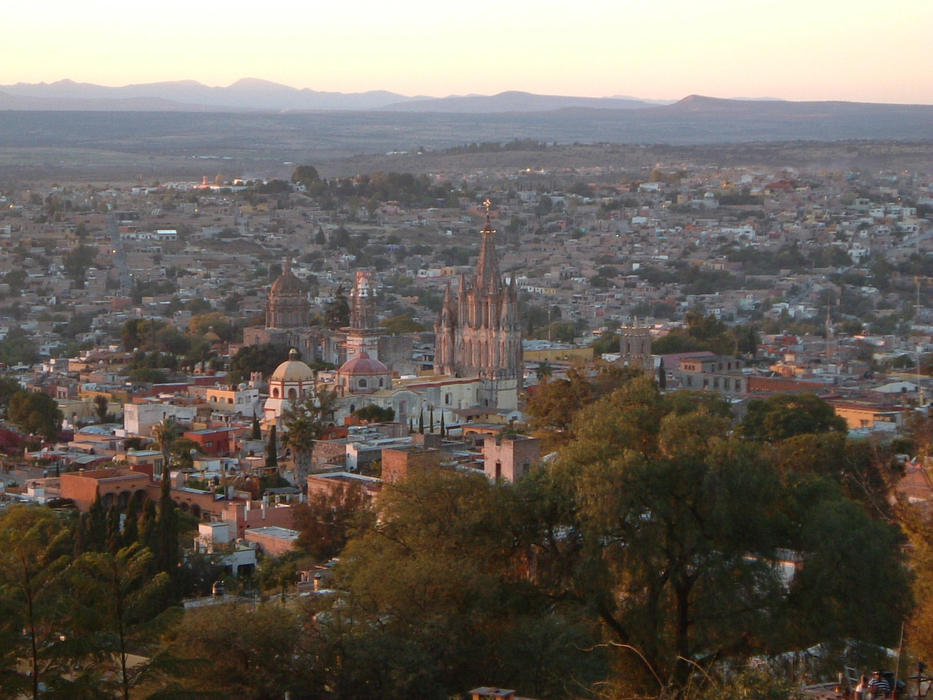
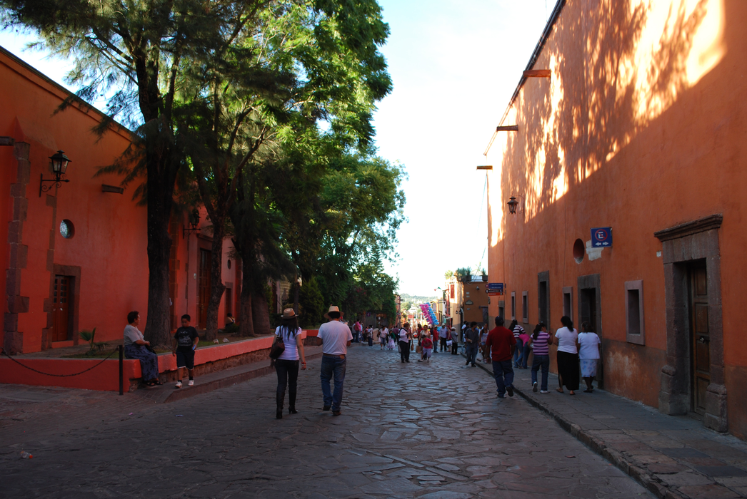
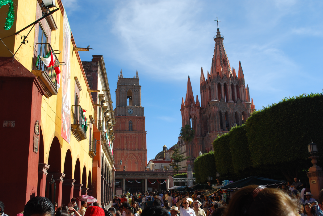


Map and nearest places
| Longitude | Latitude |
|---|---|
| 20.914167 | -100.746944 |
| 20°54'0"N | 100°44'0"W |
| Nearest places | ||
|---|---|---|
| San Miguel de Allende | 0.3km | |
| Captain Rogelio Castillo National Airport | 43.4km | |
 | Celaya | 44.1km |
 | San Luis de la Paz | 49.0km |
 | Queretaro | 51.6km |
 | Guanajuato | 54.8km |
| Queretaro International Airport | 66.5km | |
| Aeropuerto Internacional Del Baj | 76.7km | |
| San Felipe | 79.4km | |
| General Francisco Mujica International Airport | 121.9km | |
| Ponciano Arriaga Airport | 150.2km | |
| Jesus Teran Peredo International Airport | 185.0km | |
| John Paul II International Airport | 10,203.6km | |
| Sir Gaëtan Duval Airport | 18,353.8km | |
Weblinks
Comments
You need to log in to add comment