


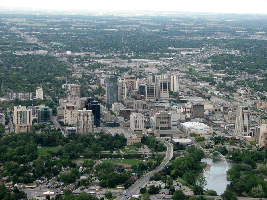


Map and nearest places
| Longitude | Latitude |
|---|---|
| 42.9825 | -81.2538888888889 |
| 42°58'0"N | 81°15'0"W |
| Nearest places | ||
|---|---|---|
| London International Airport | 10.1km | |
| St Thomas | 23.8km | |
| St. Thomas Municipal Airport | 26.4km | |
| Strathroy | 29.6km | |
| Woodstock Airport | 37.9km | |
| Tillsonburg Airport | 41.5km | |
| Tillsonburg | 44.3km | |
| Woodstock | 44.4km | |
| Stratford | 48.5km | |
| Bayfield | 73.8km | |
| Brantford Airport | 76.0km | |
| Sarnia (Chris Hadfield) Airport, | 85.8km | |
| John Paul II International Airport | 7,154.7km | |
| Busselton Regional Airport | 18,238.4km | |
Breweries
Airports
Weblinks
Comments
You need to log in to add comment