


_1472904238_700.jpg)
_1174922737_700.jpg)


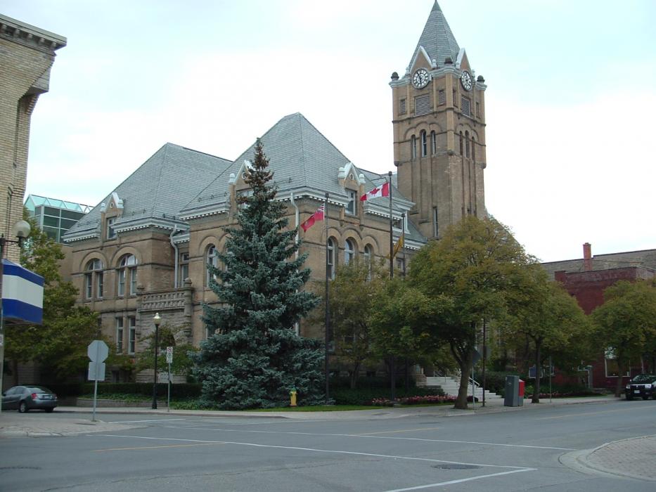
Map and nearest places
| Longitude | Latitude |
|---|---|
| 42.775 | -81.18333 |
| 42°46'0"N | 81°10'0"W |
| Nearest places | ||
|---|---|---|
| St. Thomas Municipal Airport | 6.0km | |
| London | 23.8km | |
| London International Airport | 28.8km | |
| Tillsonburg | 38.1km | |
| Tillsonburg Airport | 39.2km | |
| Strathroy | 40.7km | |
| Woodstock Airport | 47.5km | |
| Woodstock | 53.2km | |
| Stratford | 68.2km | |
| Simcoe | 72.4km | |
| Brantford Airport | 79.2km | |
| Sarnia (Chris Hadfield) Airport, | 95.0km | |
| John Paul II International Airport | 7,167.2km | |
| Busselton Regional Airport | 18,254.8km | |
Accomodation
Restaurants
Museums
Wineries
Breweries
Airports
Weblinks
Comments
You need to log in to add comment