


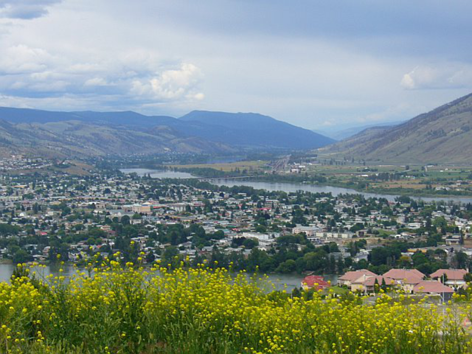
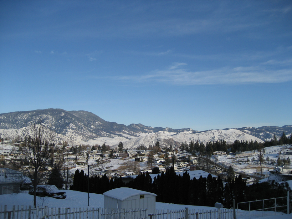
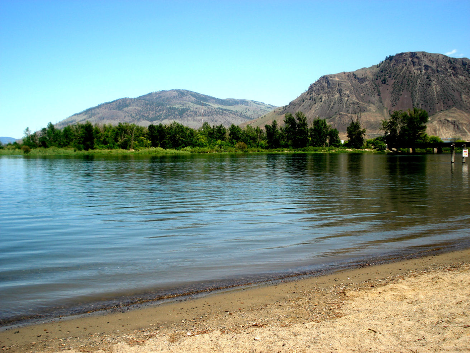


Map and nearest places
| Longitude | Latitude |
|---|---|
| 50.6761111111111 | -120.340833333333 |
| 50°40'0"N | 120°20'0"W |
| Nearest places | ||
|---|---|---|
| Kamloops Airport | 7.9km | |
| Cache Creek Airport | 69.7km | |
| Cache Creek | 70.8km | |
| Salmon Arm | 75.3km | |
| Salmon Arm Airport | 78.4km | |
| Armstrong | 84.7km | |
| Vernon Regional Airport | 86.0km | |
| Vernon | 89.6km | |
| Kelowna International Airport | 105.3km | |
 | Kelowna | 106.7km |
| Lillooet Airport | 109.4km | |
| Lillooet | 112.4km | |
| John Paul II International Airport | 8,191.8km | |
| Tolagnaro Airport | 16,963.9km | |
Accomodation
Restaurants
Wineries
Airports
Weblinks
Comments
You need to log in to add comment