


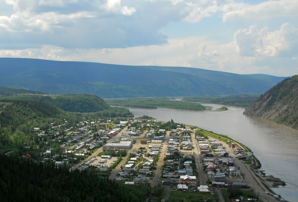
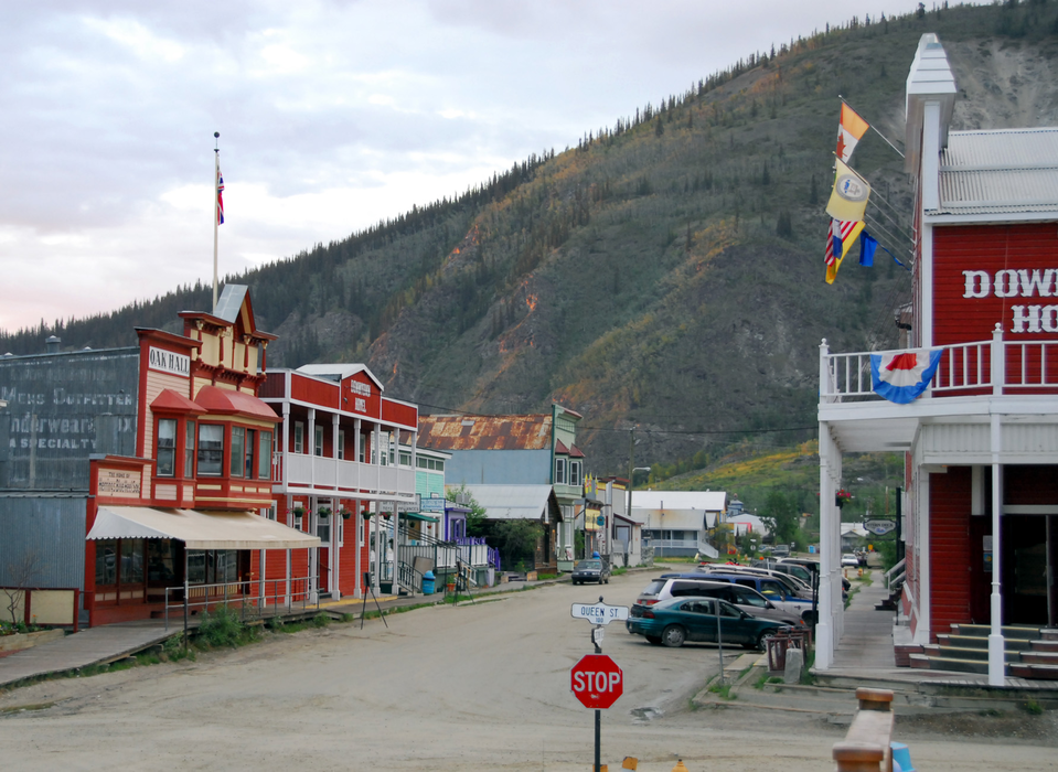
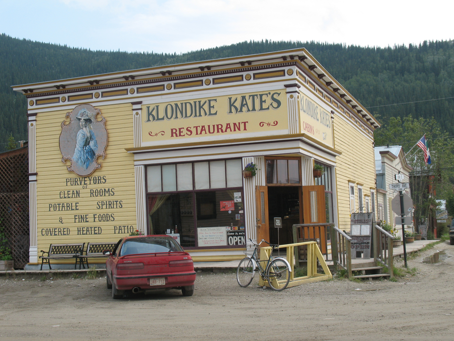
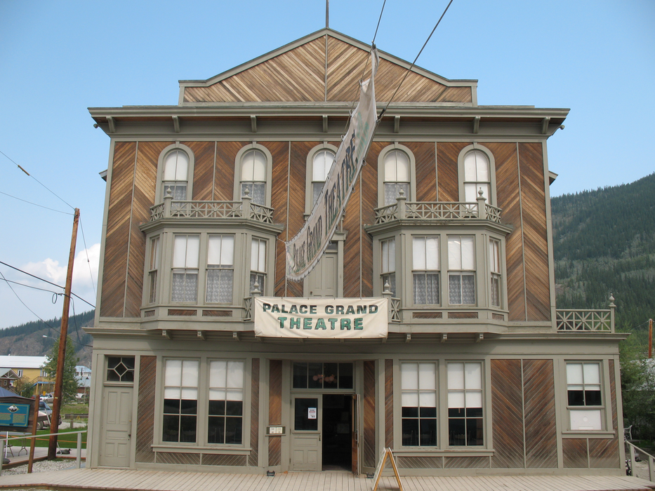
Gallery


Map and nearest places
| Longitude | Latitude |
|---|---|
| 64.0625 | -139.430555555556 |
| 64°3'0"N | 139°25'0"W |
| Nearest places | ||
|---|---|---|
| Dawson City Airport | 14.9km | |
| Chicken | 118.9km | |
| Mayo | 181.0km | |
| Mayo Airport | 181.5km | |
| Tok Junction Airport | 191.7km | |
| Tok | 194.9km | |
| Beaver Creek Airport | 197.3km | |
| Beaver Creek | 200.4km | |
| Chisana | 256.3km | |
| Chisana Airport | 257.7km | |
| Carmacks | 270.5km | |
| Carmacks Airport | 271.8km | |
| John Paul II International Airport | 7,195.1km | |
| Port Elizabeth Airport | 16,517.7km | |
Accomodation
Museums
Spirits Distillery
Airports
Weblinks
Comments
You need to log in to add comment